The 3,055 m high Mt. Piz Lavarela is separated from the neighbouring Piz Cunturines by the Forcella Lavarela wind gap
Image gallery: Piz Lavarela
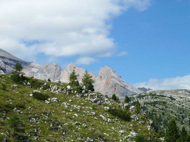
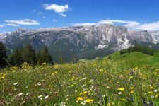
Mt. Piz Lavarela rises in the protected area of the Fanes-Senes-Braies Nature Park, east of San Cassiano. Adjacent - separated only by the Forcella Lavarela wind gap - there's the highest peak of the Fanes Group, Mt. Piz Cunturines. However, with a height of 3,055 m a.s.l., Mt. Piz Lavarela is only 9 metres lower, which makes it the second-highest peak of the mountain group.
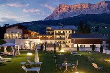
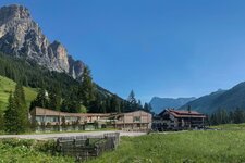
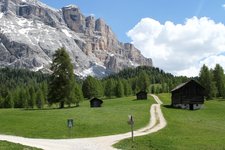
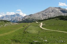
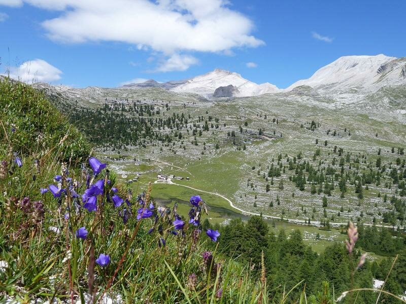
The mountain tour starts at the Capanna Alpina hut near San Cassiano or the Rif. Fanes mountain hut and leads via the 2,157 m high Ju da l'Ega pass and the 2,885 m high Forcella Lavarela wind gap to the top. Also the Rif. Lavarella mountain hut, located on the Pices Fanes Alp in the Val Badia valley, owes its name to Mt. Piz Lavarela.
The word "Lavara" dates back to pre-Roman times and means stone, debris or rock. In the Atlas Tyrolensis (1774) the mountain was marked as "Tamers Kofel", whilst in the work by Johann Jakob Staffler (1839) it was already mentioned as Varella. Nowadays the name of the Dolomite peak is written in a variety of ways: Piz de Lavarela, Lavarella, La Varela or La Varella.