Nice summer hike across the alpine meadows of Piz La Ila and Piz Arlara to the Rif. Passo Incisa and the Passo di Campolongo pass
Image gallery: Alpine Meadow Hike to the Passo di Campolongo
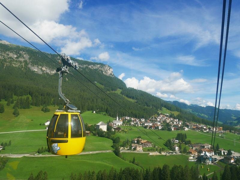
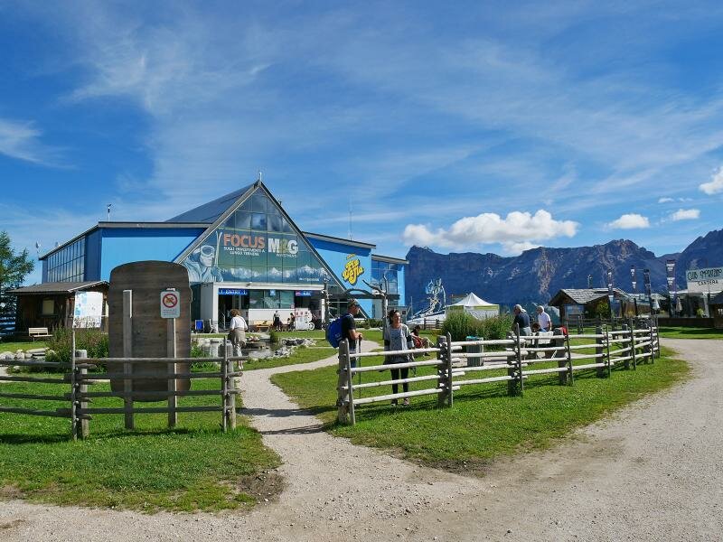
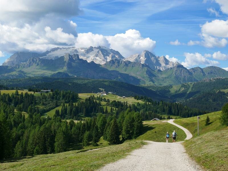
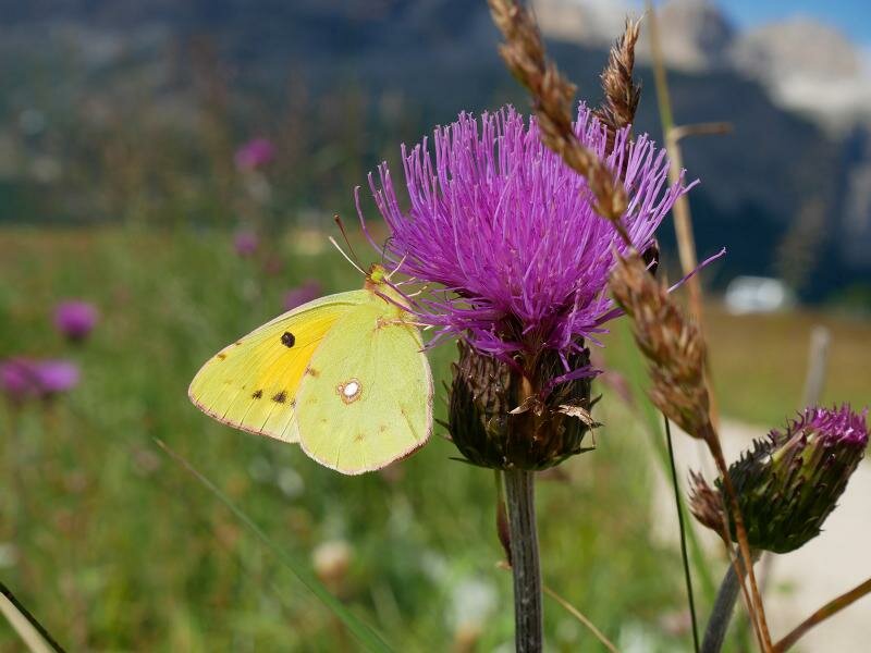
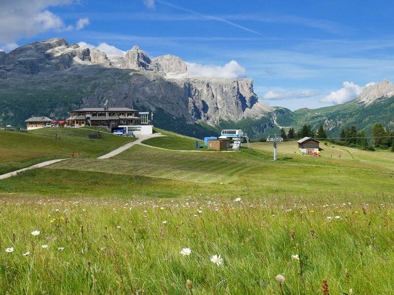
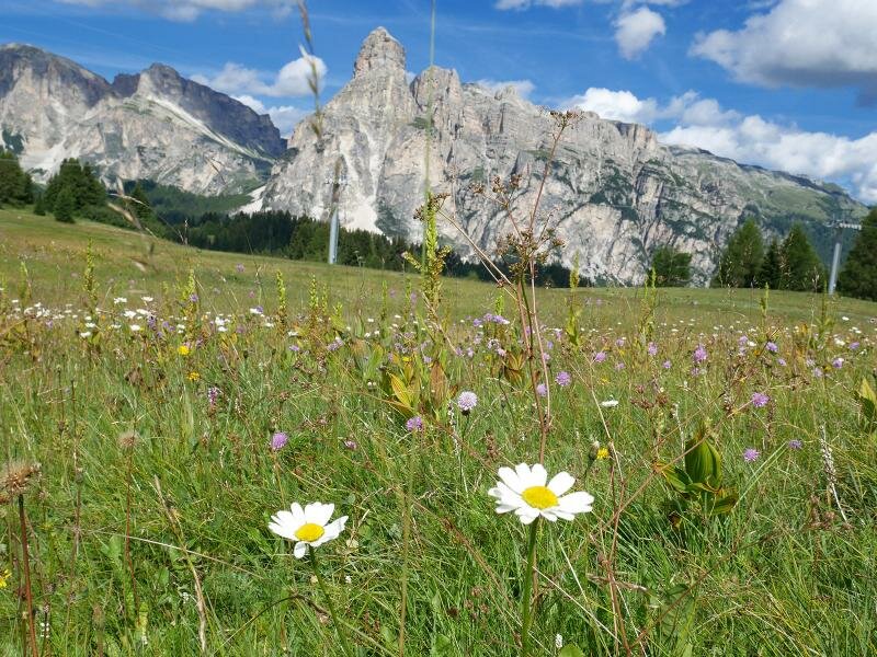
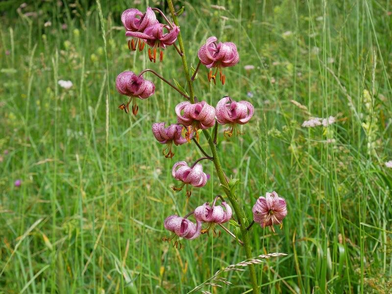
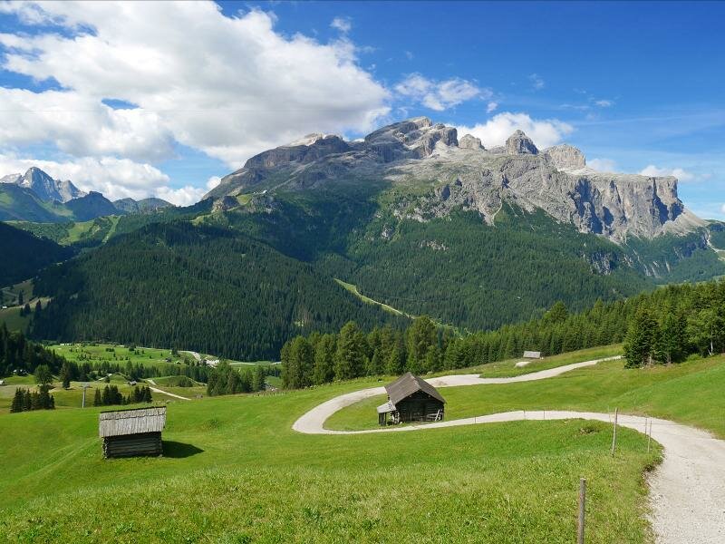
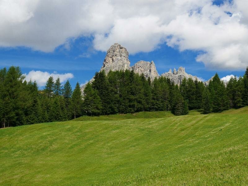
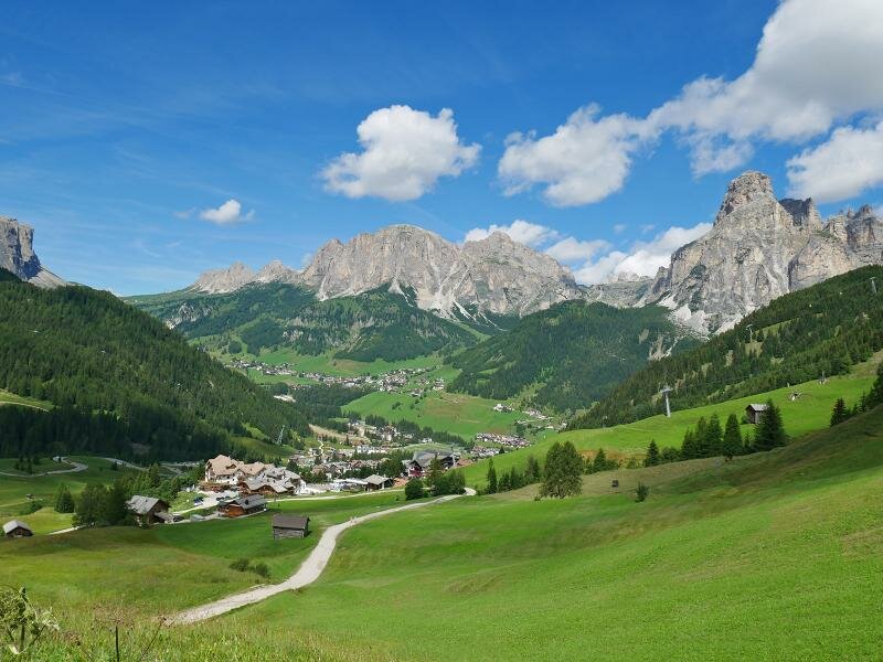
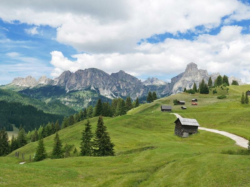
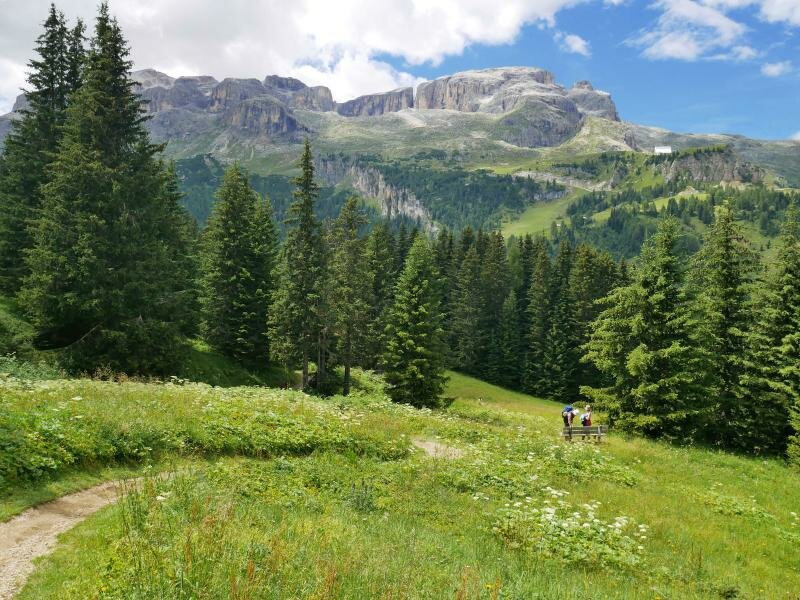
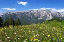
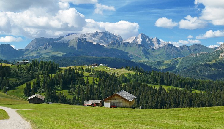
The wide Pralongià High Plateau in the heart of Alta Badia not only offers breathtaking views on the Dolomites but also plenty of nature between herb meadows and woods and many rest points with delicious food. Our hike proceeds on the west side of this natural and cultural landscape, above La Villa and Corvara, towards south to the Passo di Campolongo mountain pass. Starting point is La Villa, where we take the Piz La Ila Funicular up to the mountain station.
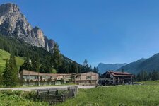
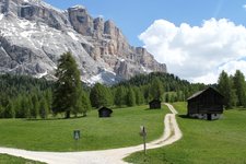
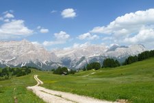
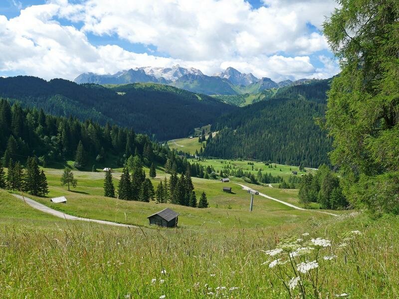
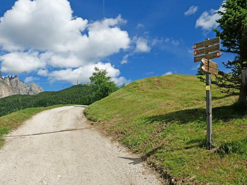
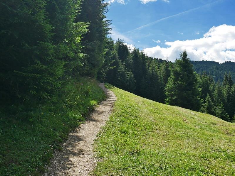
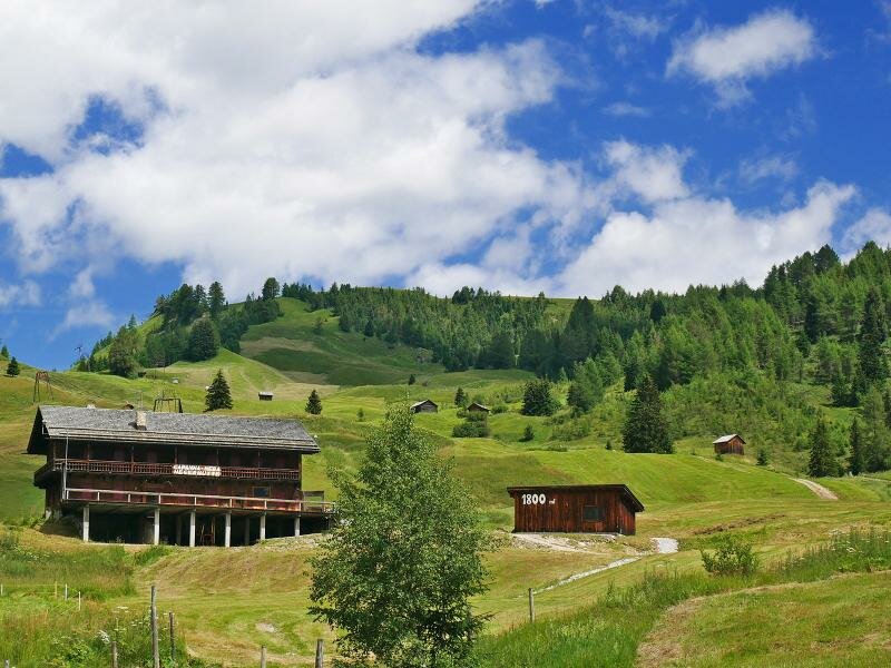
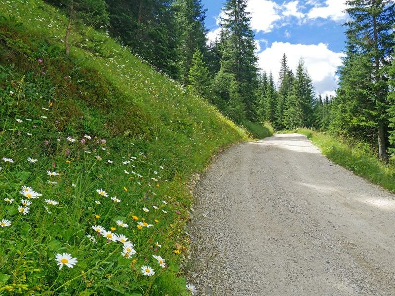
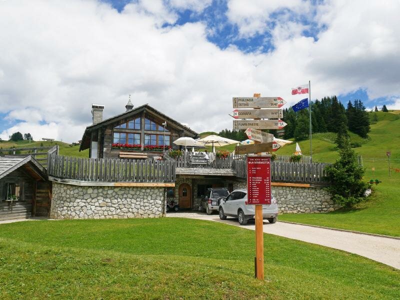
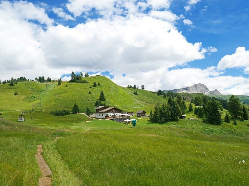
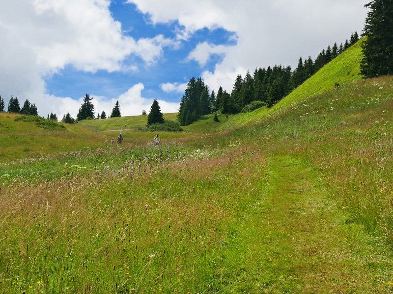
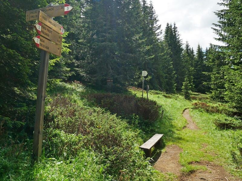
From there, at an altitude of more than 2,000 m a.s.l., we walk on the path no. 4A, 4 and 23 past the mountain taverns Ütia La Fraina, Ütia La Brancia and Ütia I Tablà to the Rif. Piz Arlara mountain hut. Then the route proceeds downhill on the paths no. 30A and 30 to the meadows at the slope above the Corvara Golf Course. At the lower bend, the connection path no. 24 branches off and leads into a gravelled path below the Rif. Capanna Nera mountain hut. This path leads up to the Rif. La Marmotta and Rif. Passo Incisa mountain huts. A meadow path (no. 3A) proceeds further up to the transition from where we hike through the forest to our destination, the Passo di Campolongo pass. There we take the bus back to our starting point (attention: low frequency, please inform yourselves about the current time table before the hike!).
Please note: an alternative route leads from the Rif. Passo Incisa mountain hut downhill to the Rif. Pralongià mountain hut (route no. 25) and from there you come back to the mountain station of the Piz La Ila Funicular again (path no. 23). In this case, there are approx. 180 altitude metres uphill and 1.6 km distance more as specified in the following information.
Author: AT
-
- Starting point:
- La Villa, Piz La Ila (mountain station of the cable car)
-
- Overall time:
- 03:15 h
-
- Total route length:
- 10,6 km
-
- Altitude:
- from 1.743 m to 2.075 m
-
- Altitude difference (uphill | downhill):
- +317 m | -527 m
-
- Signposts:
- No. 4A, 4, 23, 30A, 30, 24, 3A, 3
-
- Destination:
- Passo Campolongo
-
- Resting points:
- Moritzino, La Fraina, La Brancia, I Tablà, Piz Arlara, Ütia La Marmotta, Ütia Incisa, La Tambra, Restaurant Boé
-
- Recommended time of year:
- Jan Feb Mar Apr May Jun Jul Aug Sep Oct Nov Dec
-
- Download GPX track:
- Alpine Meadow Hike to the Passo di Campolongo
If you want to undertake this hike, we recommend checking the weather and trail conditions in advance and on site before starting this hike!