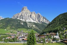
Walking from Corvara to the Piz Boè mountain to admire the breath-taking panorama of the Ladin Dolomites
Image gallery: Mountain tour to Mt. Piz Boé
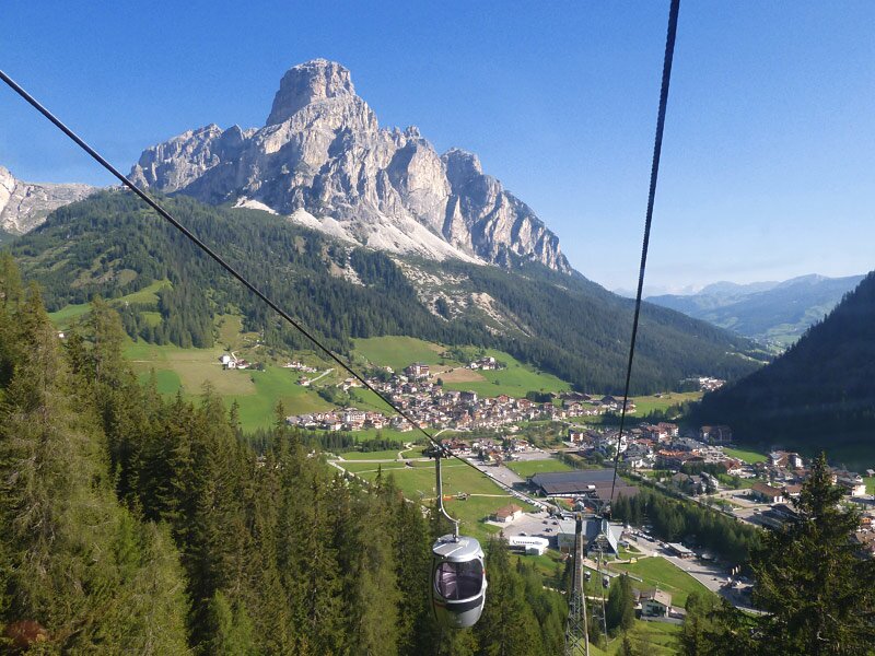
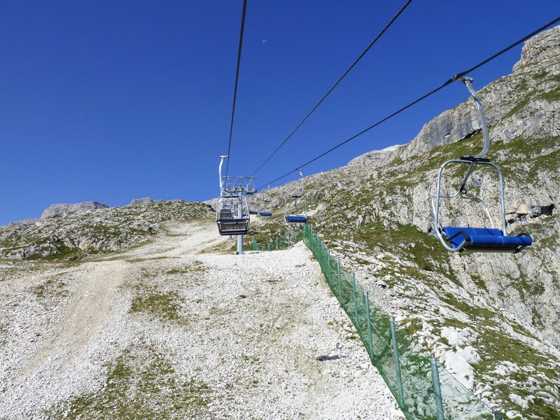
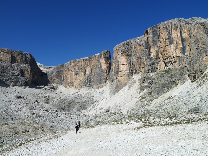
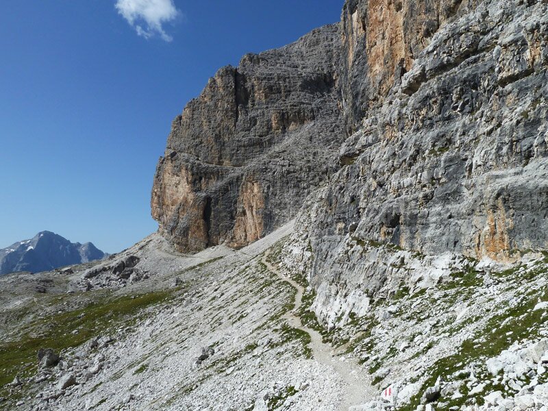
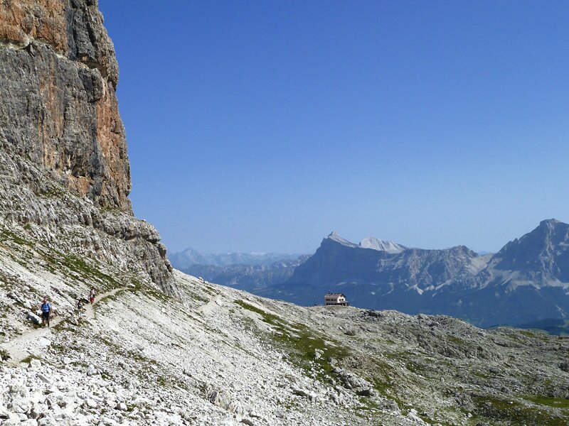
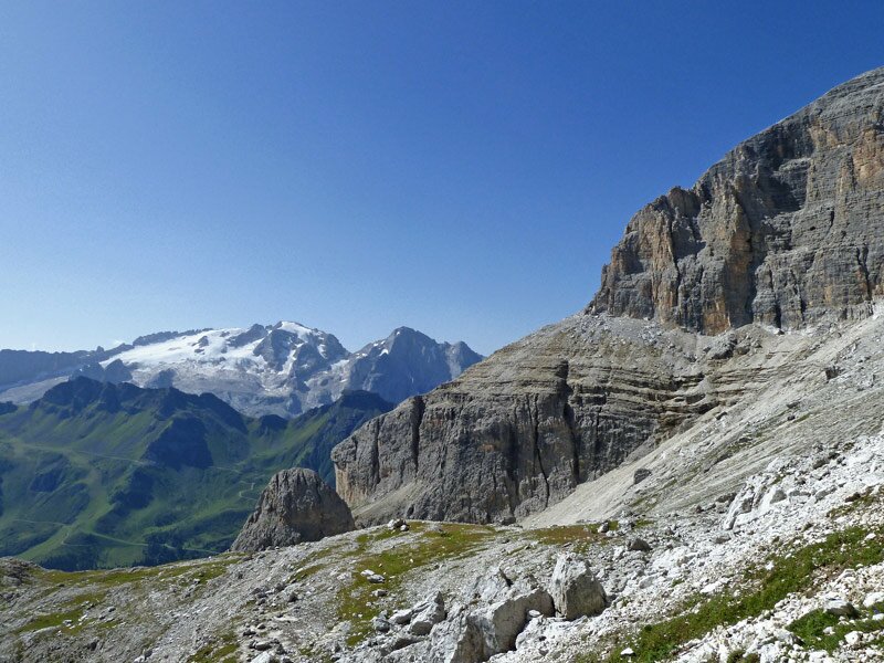
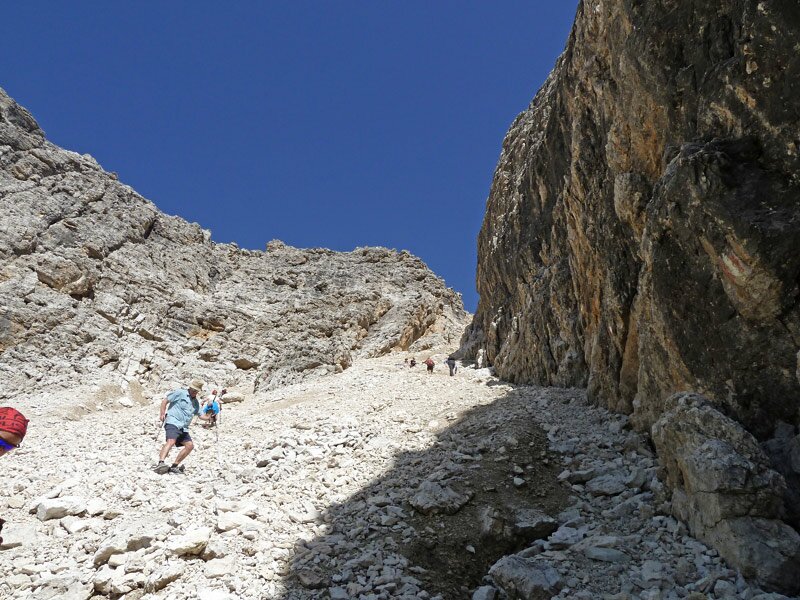
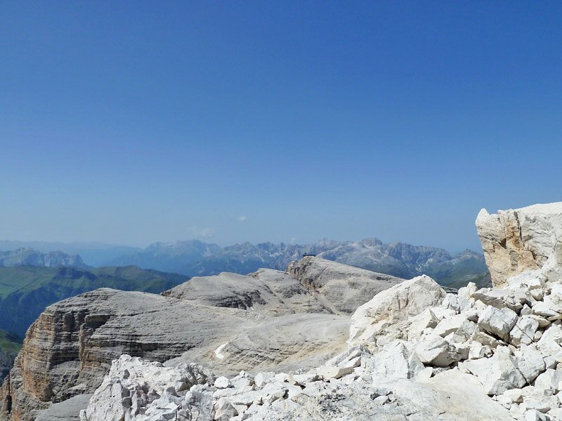
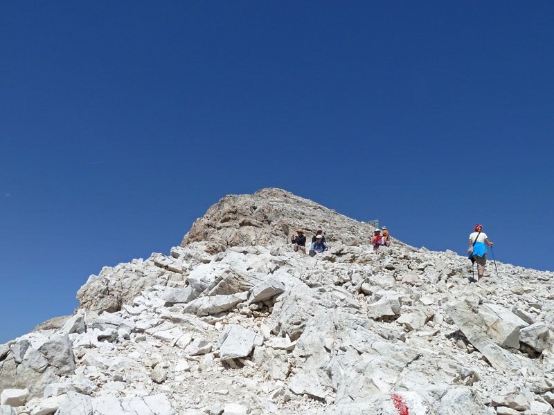
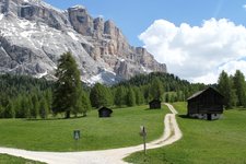
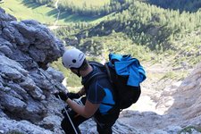
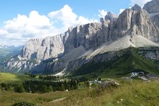
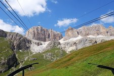
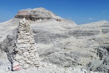
The 3,152 m high Piz Boè is part of the Sella Group and is known to be one the easiest higher than 3,000 metres summits to climb. On a sunny August day we take the Boè Gondola Lift in Corvara, which takes us at 2,200 m a.s.l. and then, by the Vallon Chairlift, we reach our starting point at 2,500 m a.s.l.. We follow the path no. 638, walking at the foot of the Sella Group and passing the Rif. Franz Kostner mountain hut. Now we are constantly and smoothly climbing up around the rocks. We come to a steep scree slope, where we are forced to hang on to the stones to avoid slipping. The path has been defined as a demanding trail by the Alpine Club due to this slippery and steep stretch.
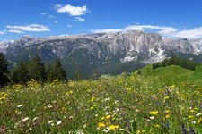
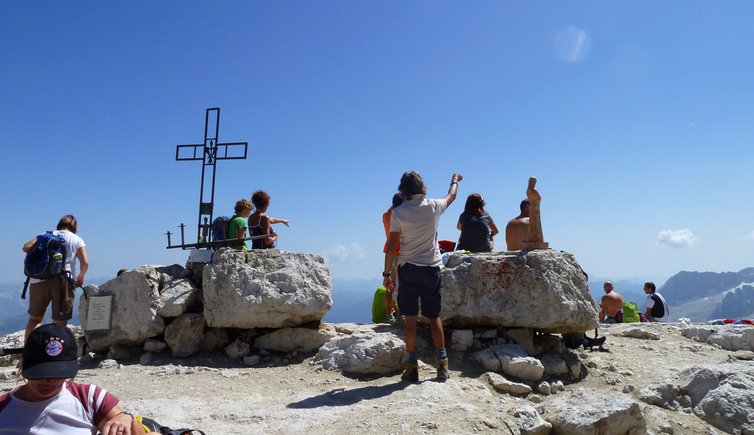
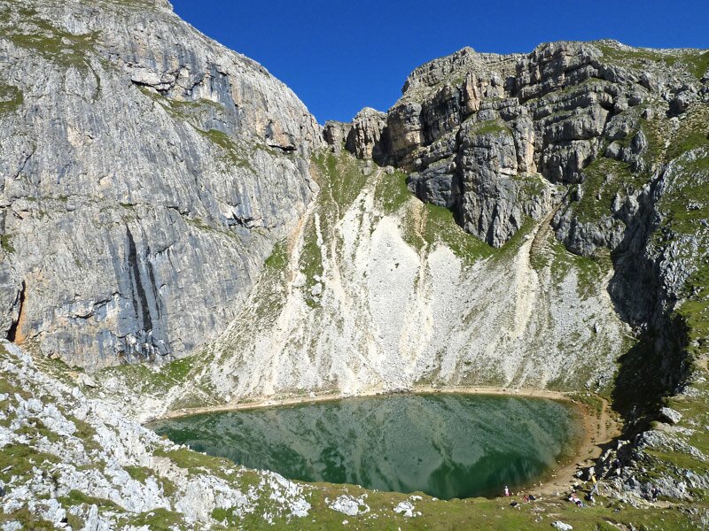
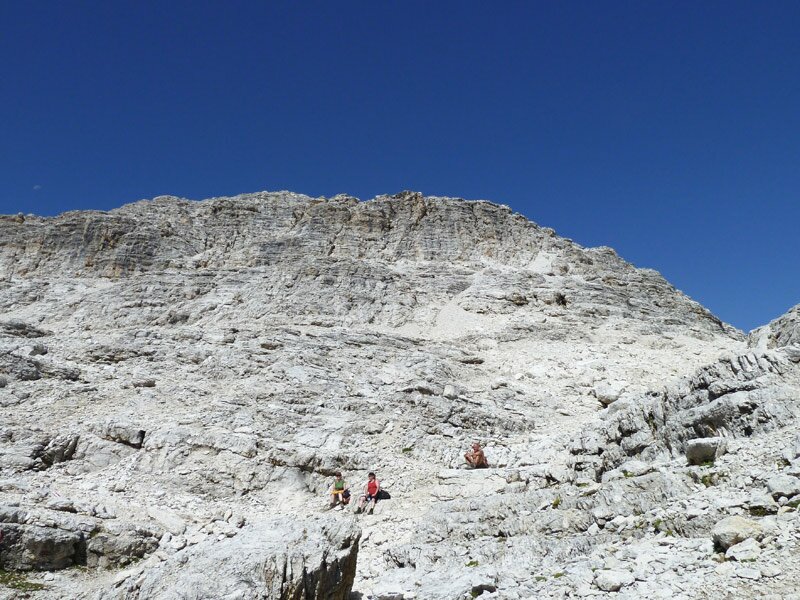
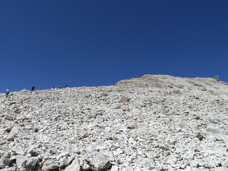
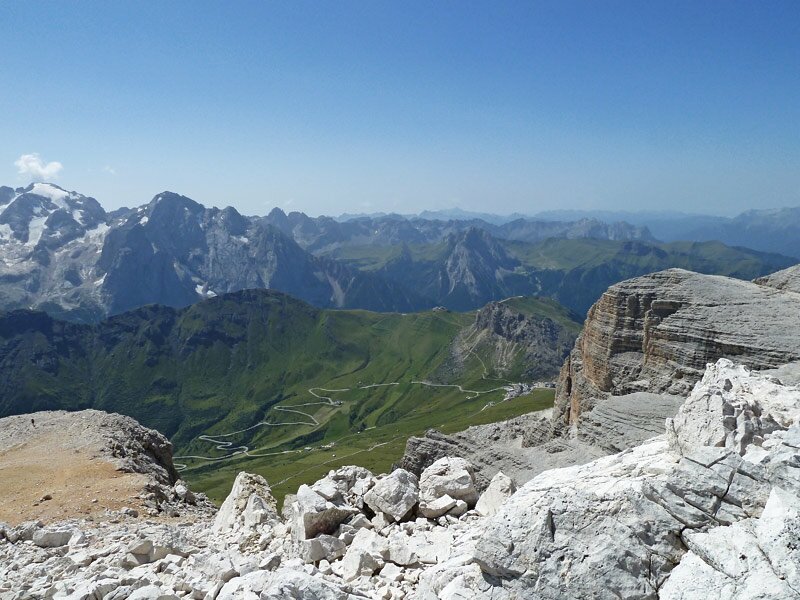
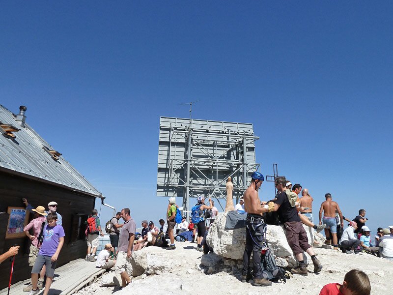
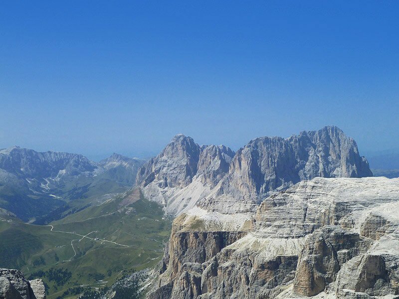
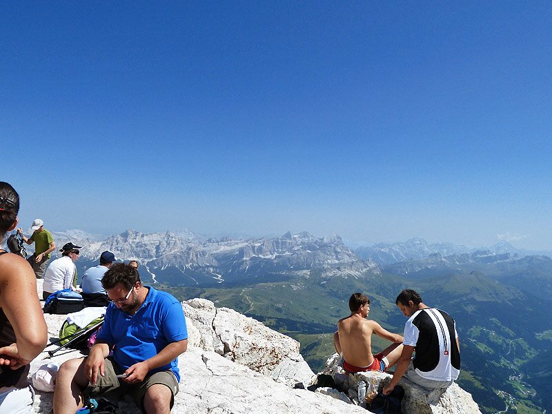
With a focused effort we manage to cross it and after that the ground conditions are really better. We keep climbing up and we can enjoy the view on the Dolomites between the Alta Badia, the village of Alleghe, the Val di Fassa valley and the Alpe di Siusi, including the Fanes peaks, the Marmolada with Mt. Punta di Penia, the Catinaccio and Mt. Sassolungo. After a 2.5 hours-walk we reach the summit, where we find some excursionists, who are enjoying the view in these few available metres between the summit cross and the little Capanna di Fassa mountain hut. From here we trace our steps back to our starting point.
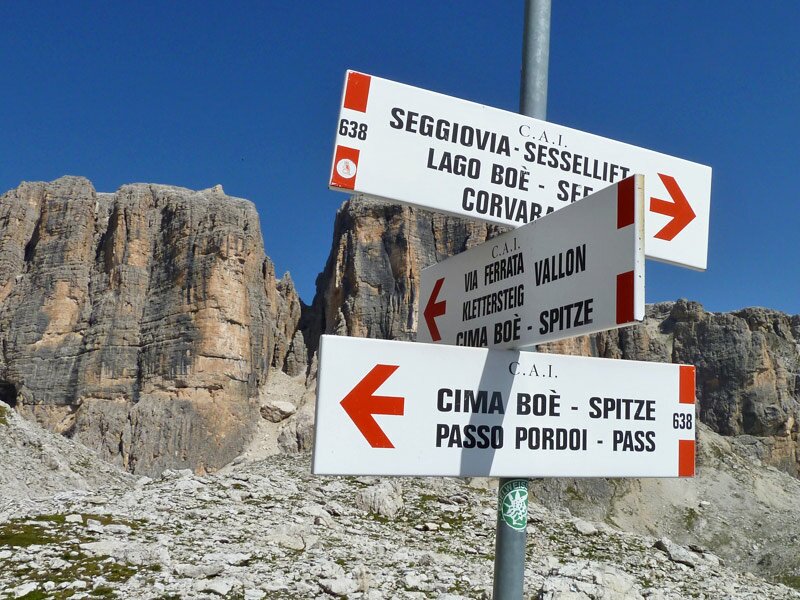
Mt. Piz Boè marks the border between the provinces Bolzano, Trento and Belluno. Besides the path no. 638 you can follow many other trails from the Piz Boè, as the path no. 672 (via ferrata to Vallon), or some easier paths towards Mt. Sass Pordoi (which are partly equipped). From there a cableway will take you directly to the Passo Pordoi pass.
Author: AT
-
- Starting point:
- Vallon mountain station (reachable with the Boè Cable Car from Corvara)
-
- Overall time:
- 03:30 h
-
- Total route length:
- 16,9 km
-
- Altitude:
- from 2.497 m to 3.152 m
-
- Altitude difference (uphill | downhill):
- +851 m | -851 m
-
- Signposts:
- no. 638
-
- Destination:
- Piz Boé
-
- Resting points:
- Ütia Franz Kostner, Capanna Piz Fassa (both from June to September/October)
-
- Recommended time of year:
- Jan Feb Mar Apr May Jun Jul Aug Sep Oct Nov Dec
-
- Download GPX track:
- Mountain tour to Mt. Piz Boé
-
- More information:
- The total time indicated above refers to the walking time only, excluding breaks.
We highly recommend checking the weather and trail conditions in advance and on site before starting this tour.