Through the mountain landscape between the Passo di Valparola and the meadows of Piz Sorega - this day hike leads us to magic places in the area of the Alta Badia
Image gallery: On Mt. Settsass and the Pralongià High Plateau
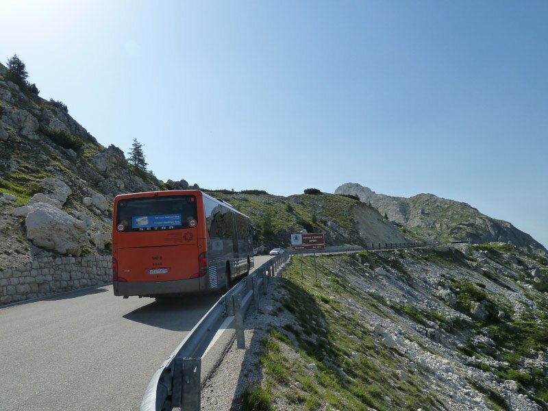
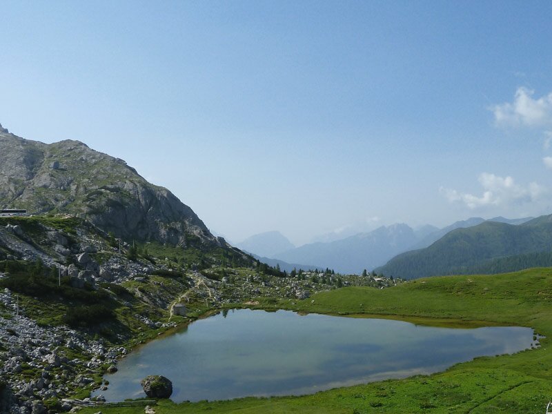
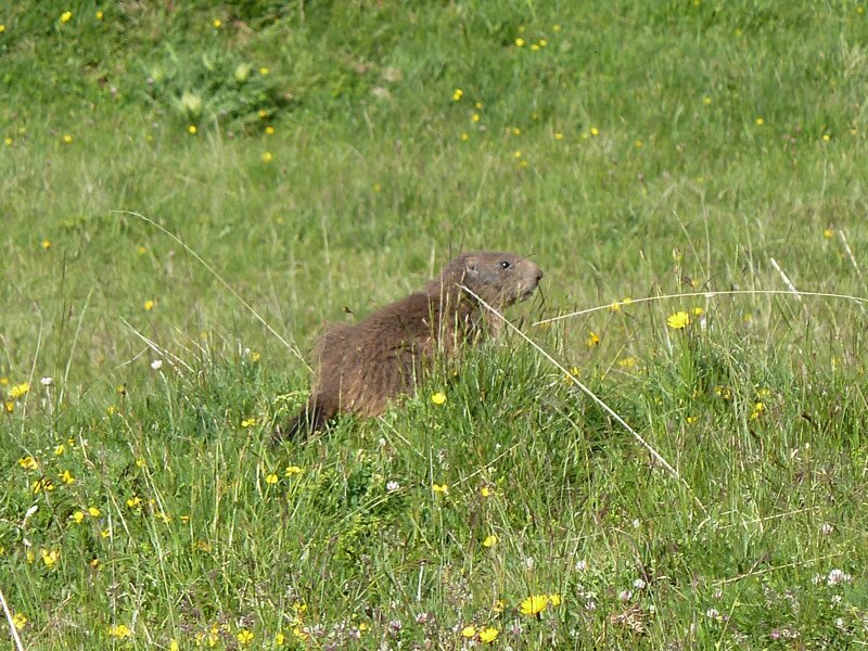
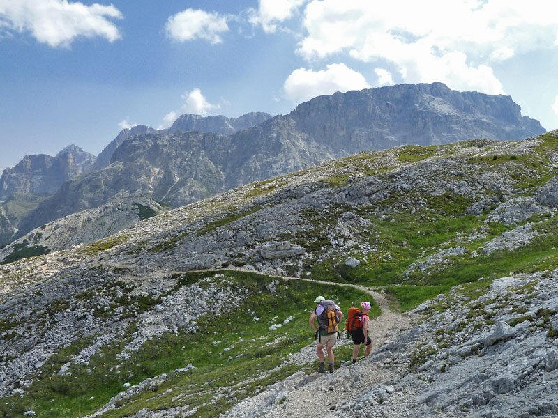
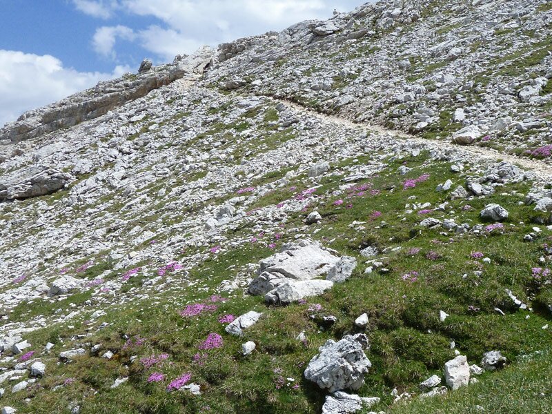
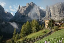
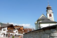
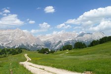
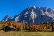
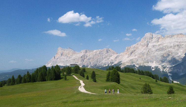
We start our tour at San Cassiano: by bus we go up to the Passo di Valparola mountain pass and take the path no. 24, which starts immediately behind the mountain hut. In front of us we have an amazing view to the wonderful high alpine landscape. We walk along the hillside of Mt. Settsass, the path runs up and down, approximately at the tree limit. Grassland, larch woods and rocky deserts dominate the scene.
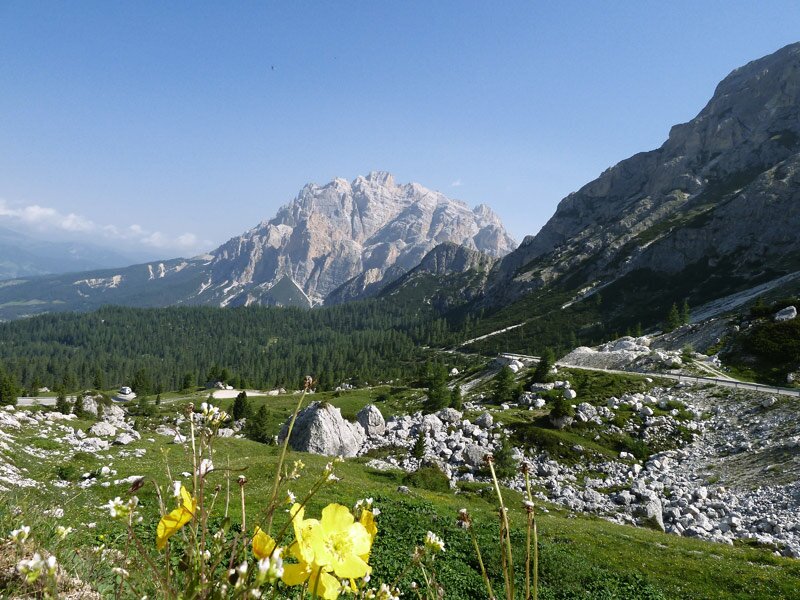
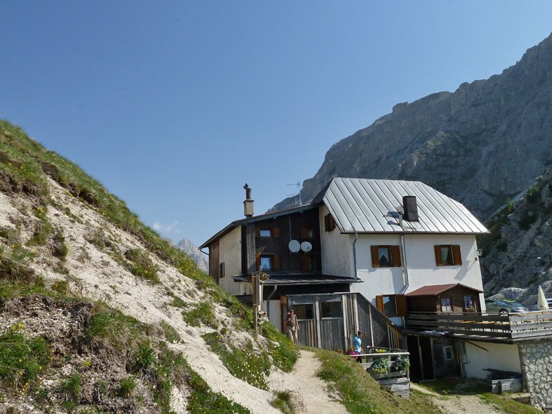
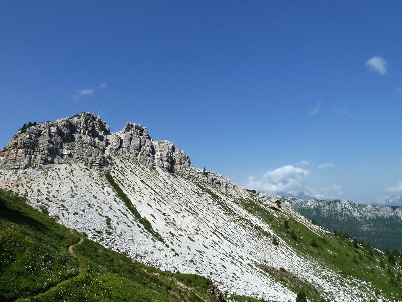
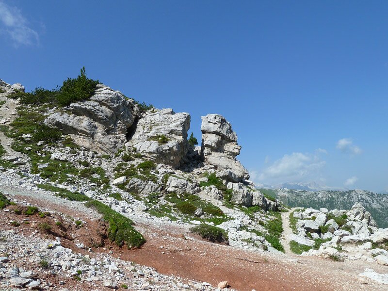
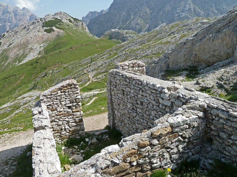
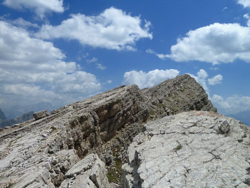
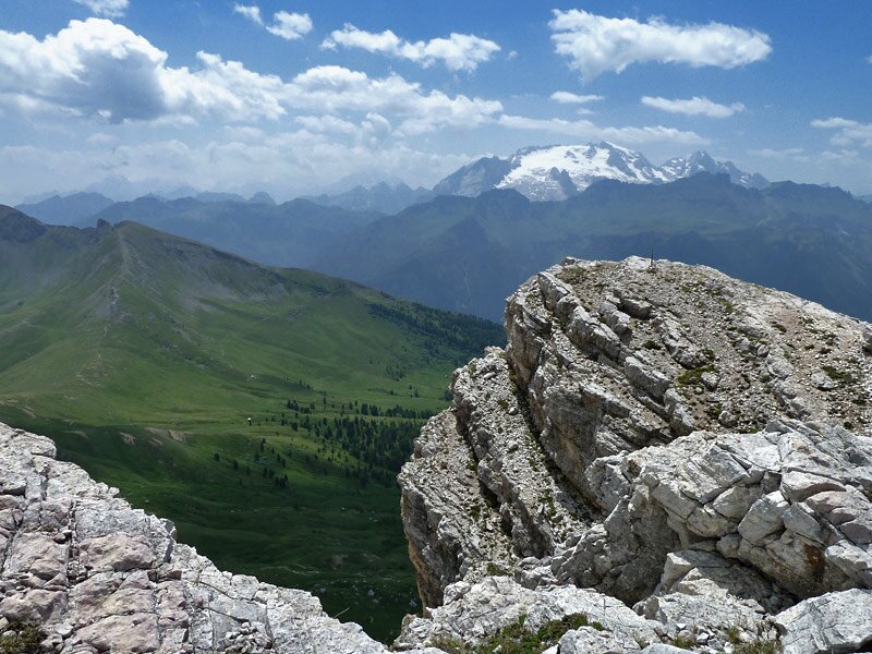
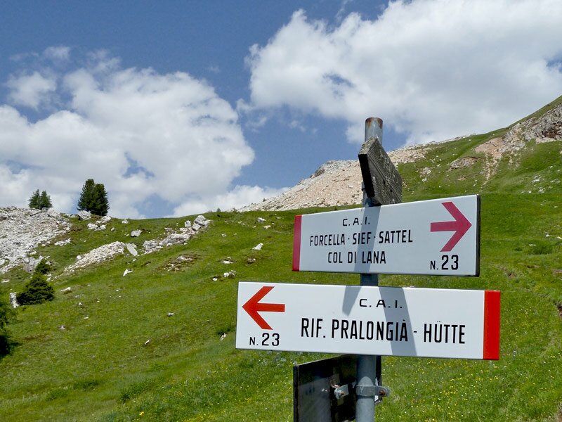
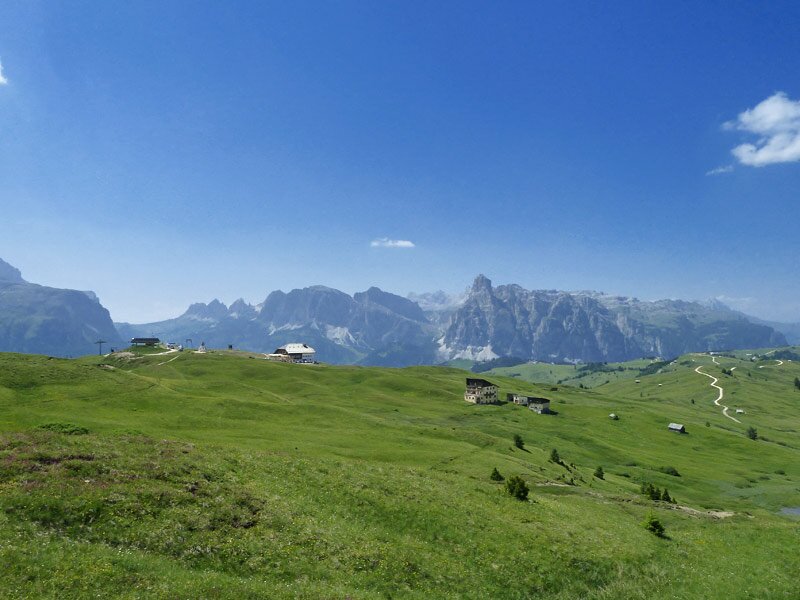
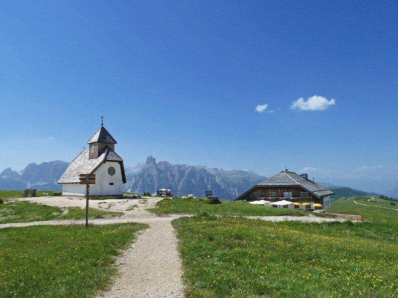
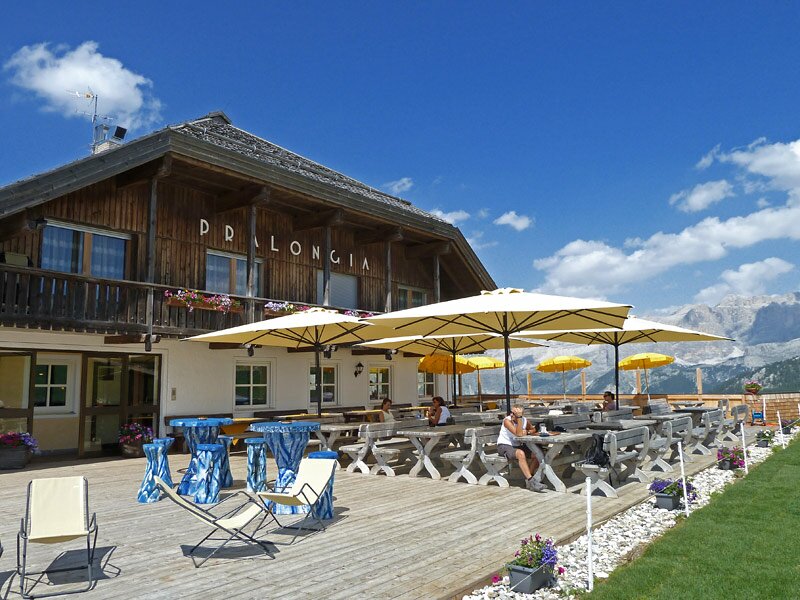
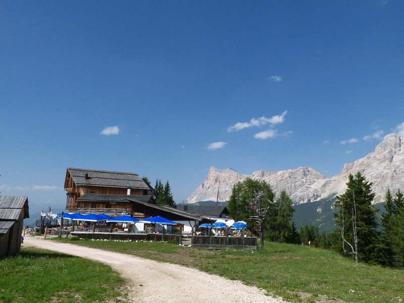
After about 4 km we reach the turnoff, which leads us to the peak of the Settsass. We walk uphill through this bizarre rocky formation, the last part on the top is a bit more difficult. Normally now you can enjoy amazing clear views from here, today we are not so lucky. But nevertheless the effort was worth it. For our walk down we take the marker no. 23 which leads us down to the Pralongià High Plateau. Now we've already managed an 11 km hike, so we take a rest at the idyllically situated mountain tavern.
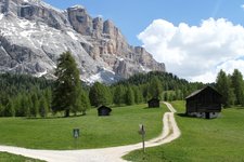
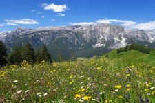
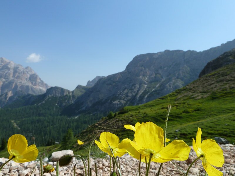
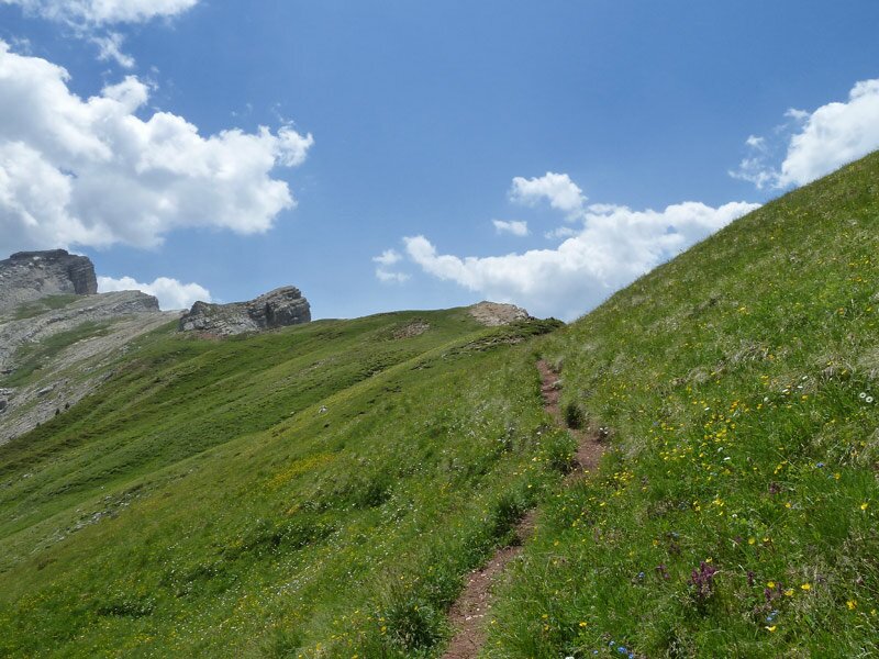
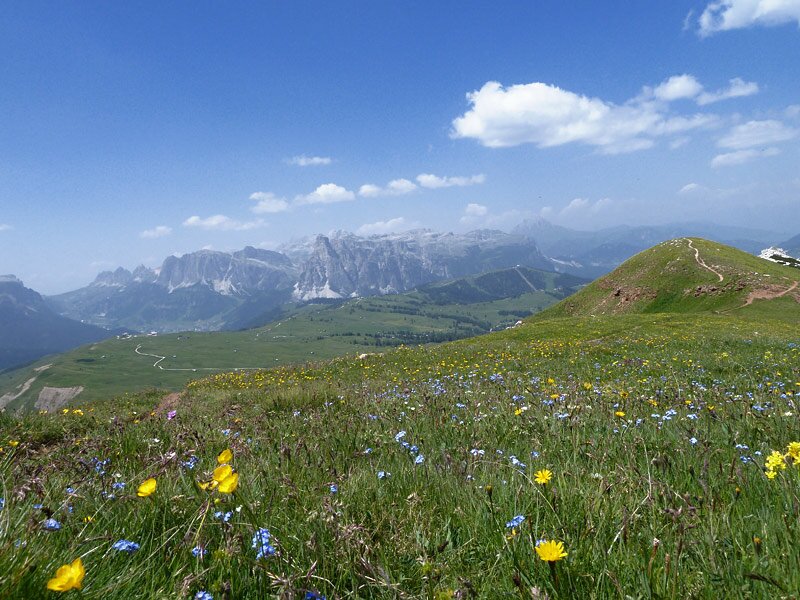
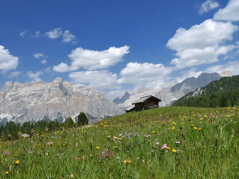
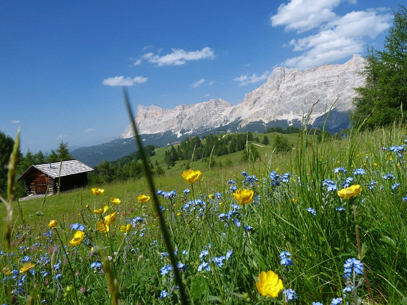
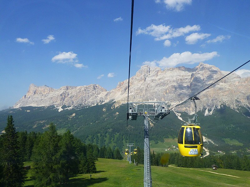
Now we have another 3.5 km to walk until we reach our target for today, Piz Sorega. The gentle landscape of meadows is covered with an amazing sea of flowers at this time. We pass the Ütia de Bioch, walk further to Rif. Las Vegas mountain hut and carry on until the mountain station of the cable car. It brings us down to the village of San Cassiano.
Author: AT
-
- Starting point:
- Passo di Valparola
-
- Overall time:
- 04:50 h
-
- Total route length:
- 14,0 km
-
- Altitude:
- from 1.990 m to 2.514 m
-
- Altitude difference (uphill | downhill):
- +515 m | -696 m
-
- Route:
- Valparola - Settsass - Pralongià - Piz Sorega
-
- Signposts:
- no. 24, 23, 21A
-
- Destination:
- Piz Sorega (mountain station cable car)
-
- Resting points:
- Pralongià, Ütia de Bioch, Ütia Las Vegas, Piz Sorega
-
- Recommended time of year:
- Jan Feb Mar Apr May Jun Jul Aug Sep Oct Nov Dec
-
- Download GPX track:
- On Mt. Settsass and the Pralongià High Plateau
If you want to undertake this hike, we recommend checking the weather and trail conditions in advance and on site before starting this hike!