This alpine tour from the Passo Gardena to the Sella Group leads us to Lake Pisciadù and via Mt. Antersass to the Rif. Boè mountain hut
Image gallery: Mountain tour on the Setus Route to the Rif. Boè
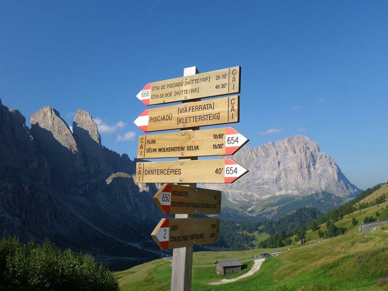
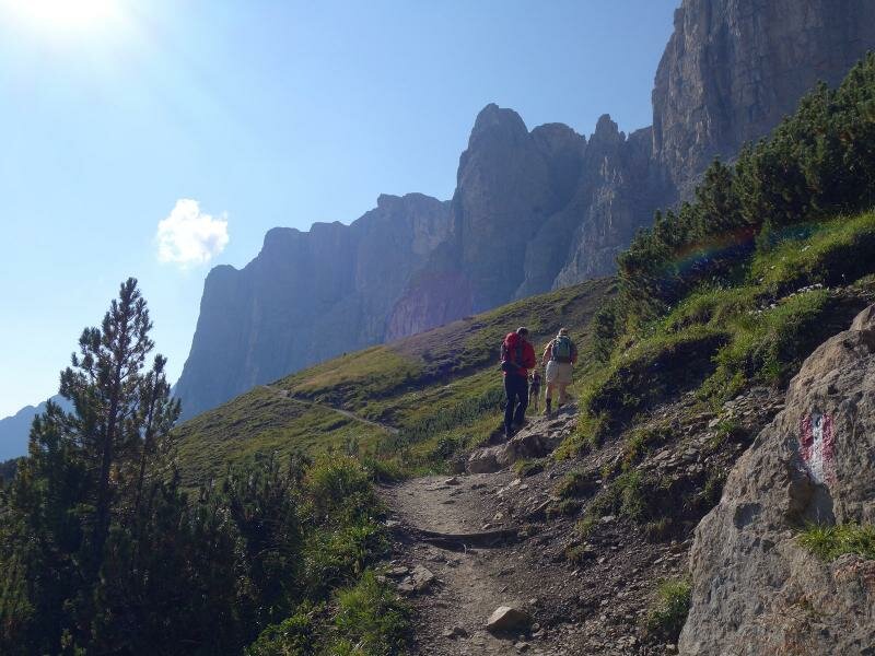
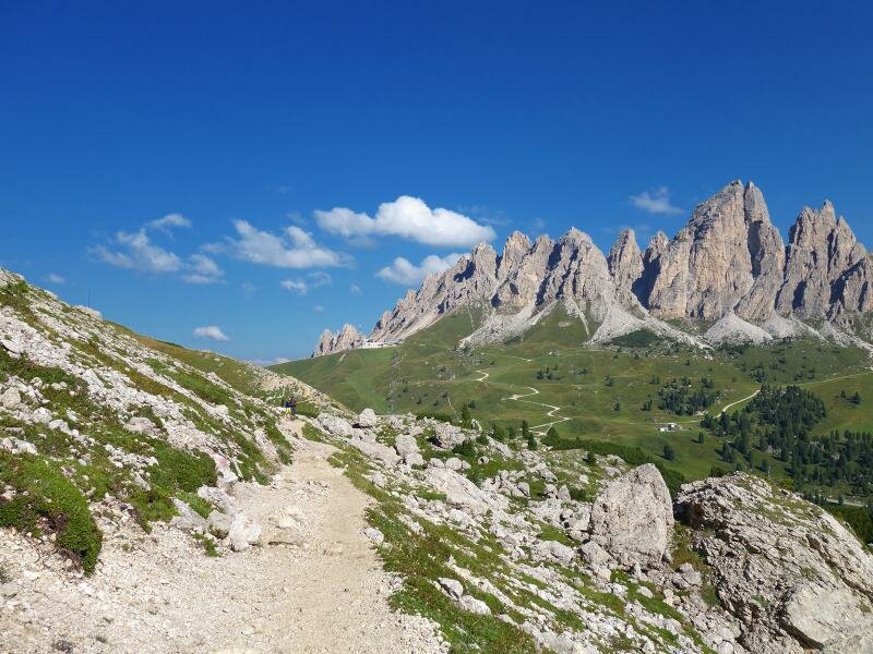
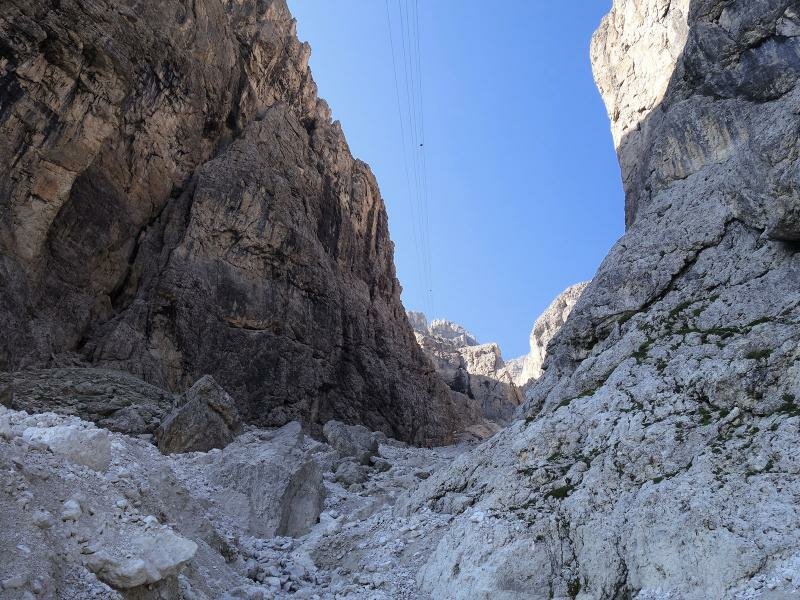

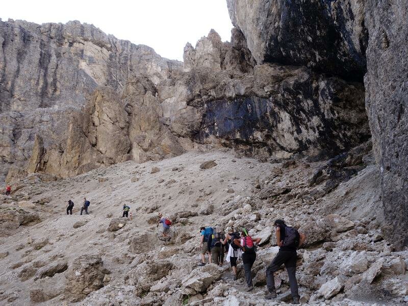
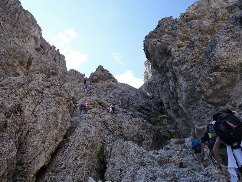
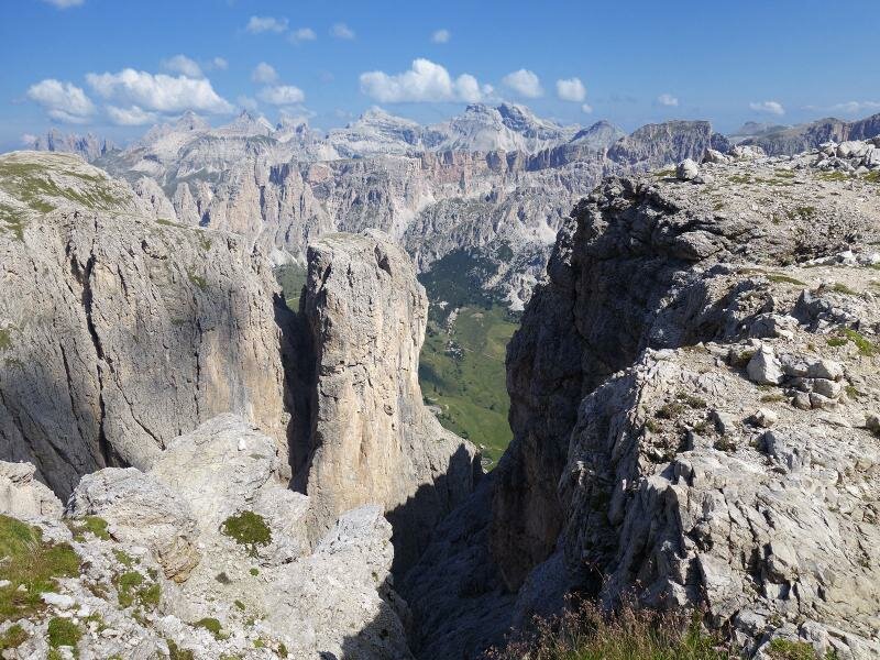
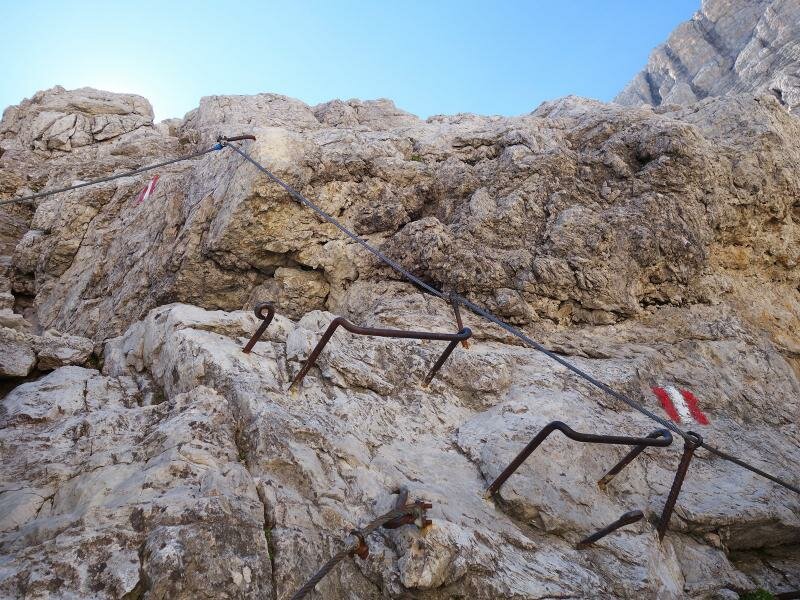
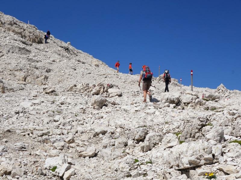
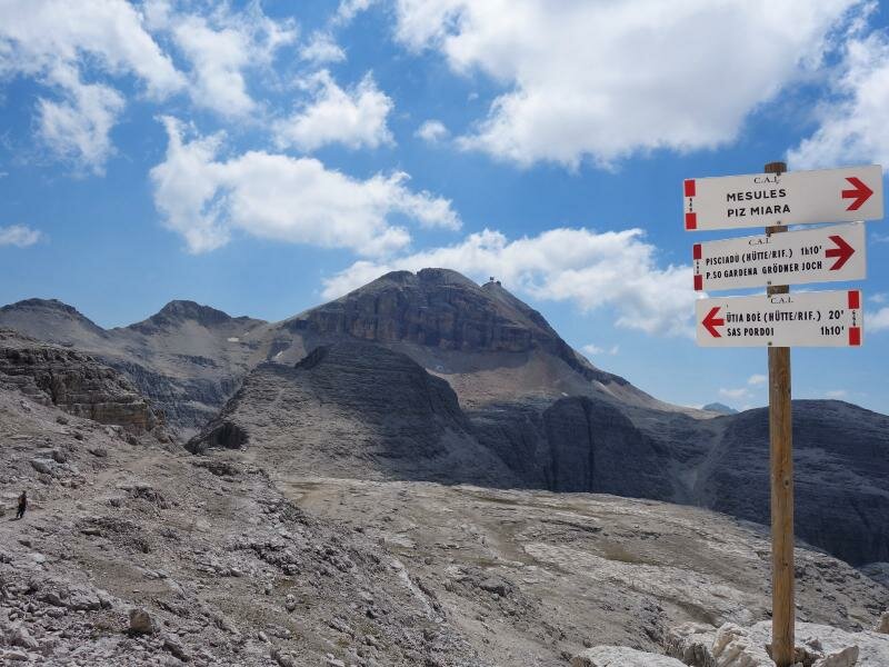
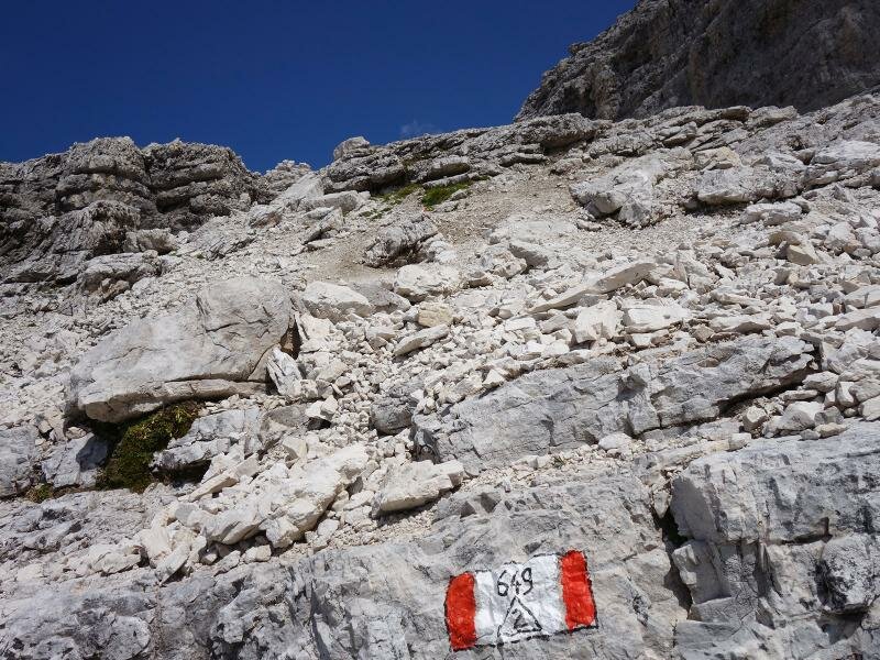
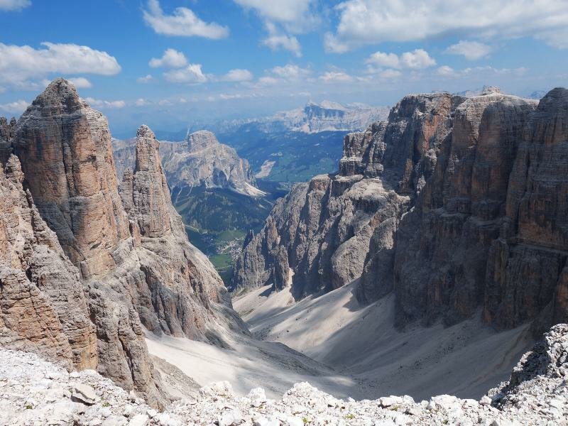
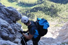
Just at the Passo Gardena mountain pass (2,135 m a.s.l., parking space and bus stop), the route no. 666 starts, also marked as Dolomite High Route no. 2. At the beginning the path proceeds at the slope beneath the cliffs towards east, until we reach the gorge of the Val Setus valley. From here on we have to climb steeply uphill, across the rocky scree landscape of the Sella Group. In the upper section some parts are secured with wire ropes and equipped with iron stirrups. Then we reach the plateau at about 2,600 m a.s.l., where we carry on hiking towards the Rif. Pisciadù hut.
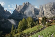
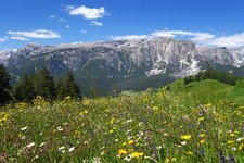
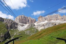
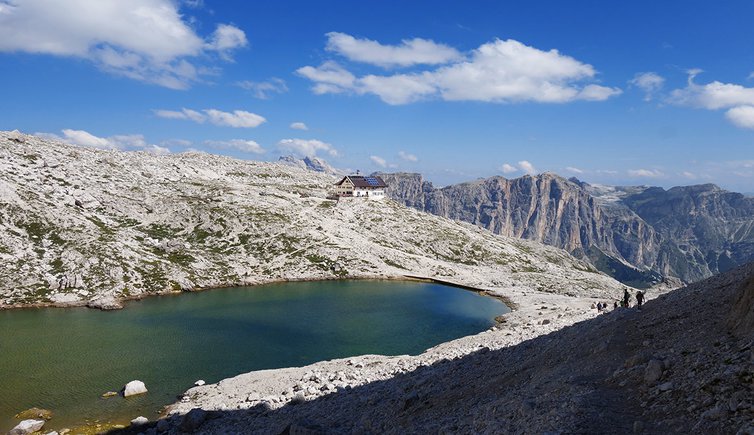
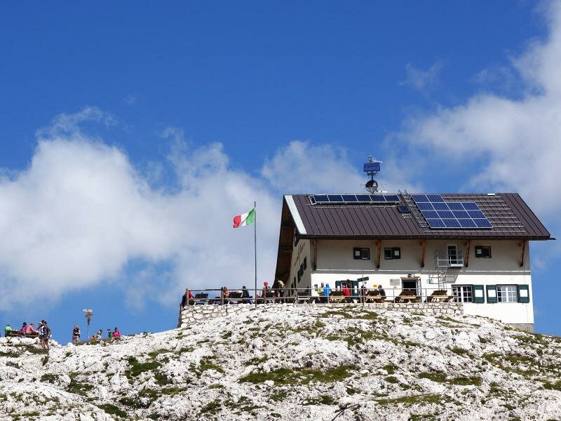
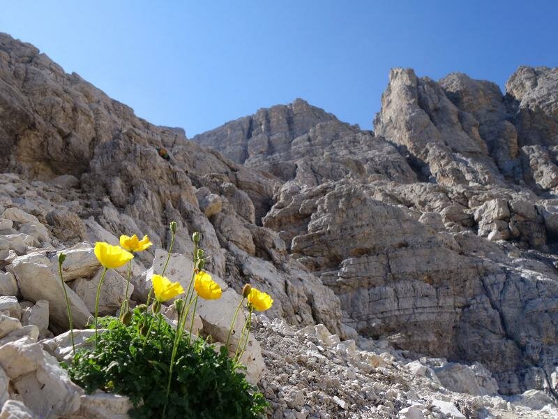
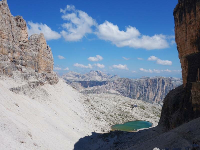
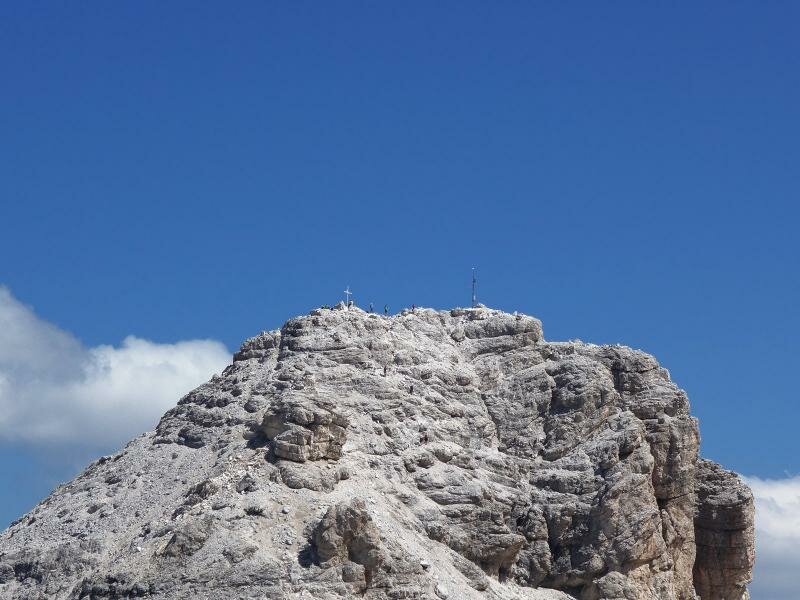
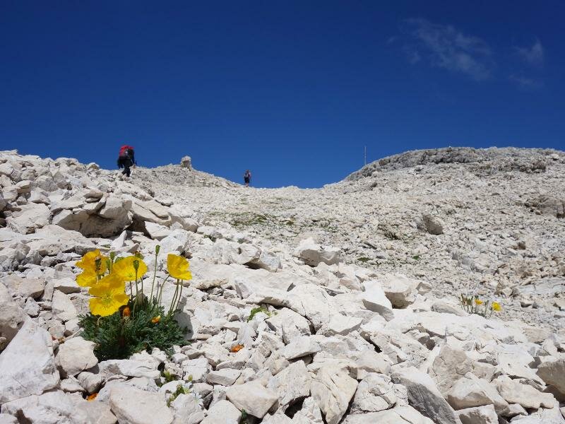
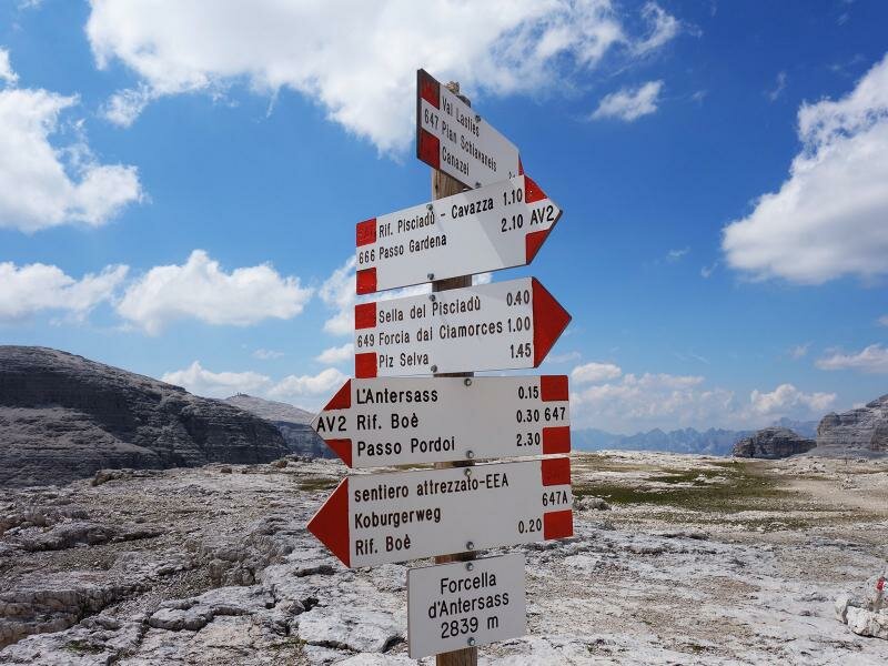
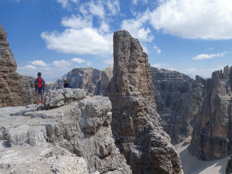
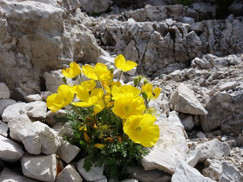
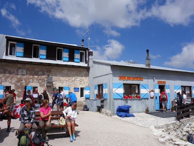
Here the view opens onto the Puez-Gardenaccia Massif. Directly next to the mountain hut, Lake Pisciadù is located and behind the path no. 666 proceeds further uphill until almost 3,000 m a.s.l., past Mt. Cima Pisciadù. The bleak stony landscape is still habitat for a high-alpine flora and fauna. A last ascent leads us across Mt. Antersass - the Rif. Boè mountain hut comes already in sight. Behind the hut, the main summit of the Sella mountain group rises, Mt. Piz Boè.
For the descent there are two possibilities: either along the same route as we came, or the easiest solution - further to Mt. Sass Pordoi (about 1 hour) and from there down to the Passo Pordoi mountain pass by cable car, where a connection by public bus back to the Passo Gardena is available in high season (please take information about the bus timetable before you start the hike!).
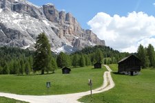
Please note: Compared with the fabulous Pisciadù Via Ferrata, the Setus Route can also be managed by not that ambitious hikers, sturdy shoes are obligatory! The bleak high plateaus of the Sella alpenstock at about 3,000 m a.s.l. and the fantastic view on the surroundings are unforgettable.
Author: AT
Experienced: August 2015
Last update: 2026
-
- Starting point:
- Passo Gardena
-
- Overall time:
- 06:40 h
-
- Total route length:
- 12,9 km
-
- Altitude:
- from 2.135 m to 2.981 m
-
- Altitude difference (uphill | downhill):
- +1040 m | -1040 m
-
- Signposts:
- no. 666, Alta Via Dolomiti n. 2
-
- Destination:
- Rifugio Boé mountain hut
-
- Resting points:
- Rifugio Pisciadù mountain hut, Rifugio Boé mountain hut
-
- Recommended time of year:
- Jan Feb Mar Apr May Jun Jul Aug Sep Oct Nov Dec
-
- Download GPX track:
- Mountain tour on the Setus Route to the Rif. Boè
We highly recommend checking the weather and trail conditions in advance and on site before starting this tour.