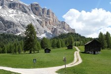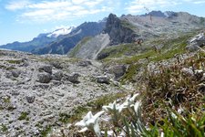
A circular trail leads beneath the rock faces of the Gardenaccia High Plateau to the two lakes Lech Dlá Lunch and Lech da Sompunt
Image gallery: Path of the Lakes
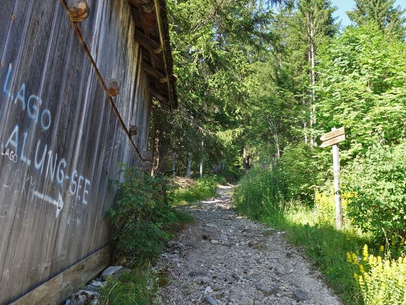

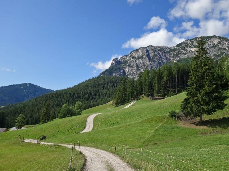
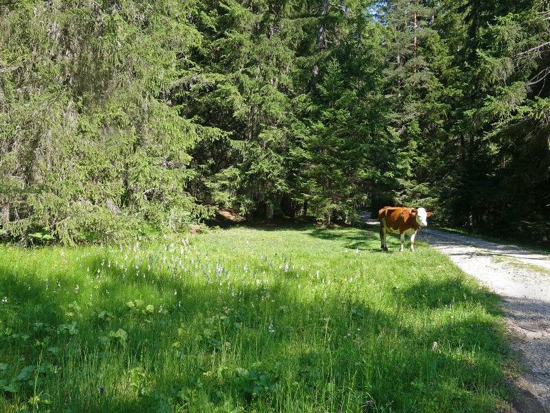
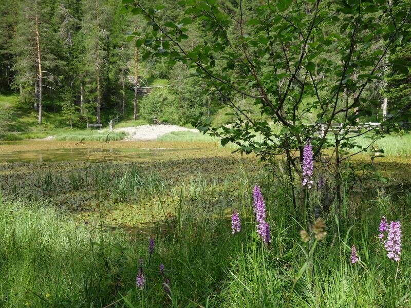
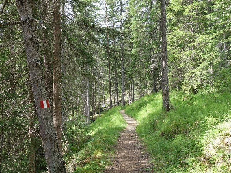
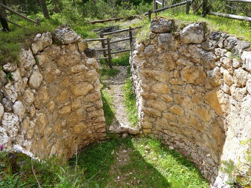
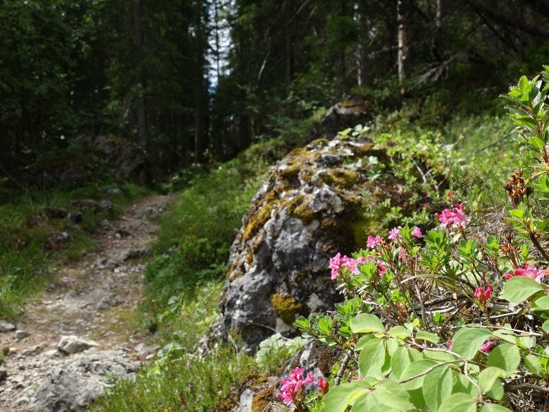
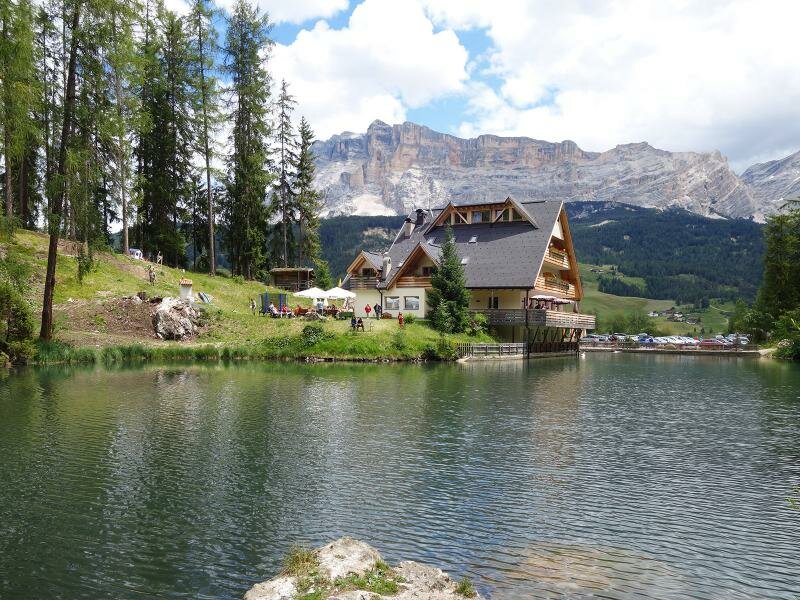
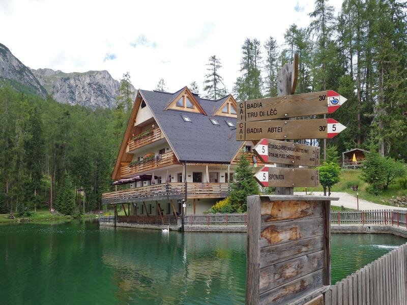

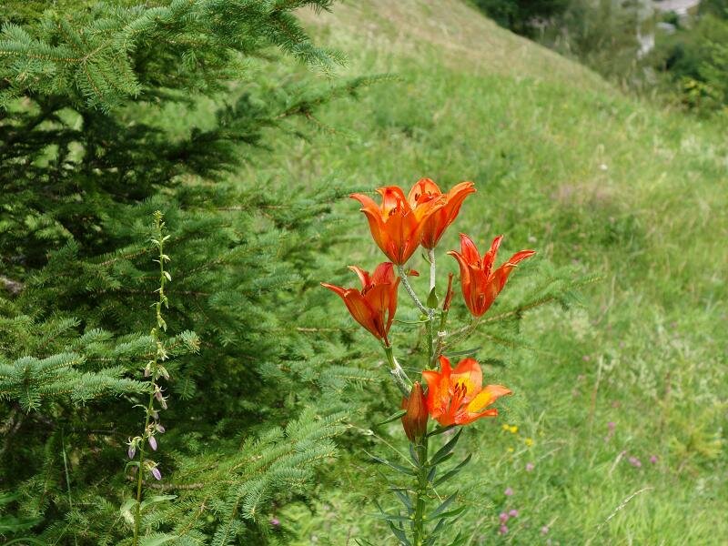
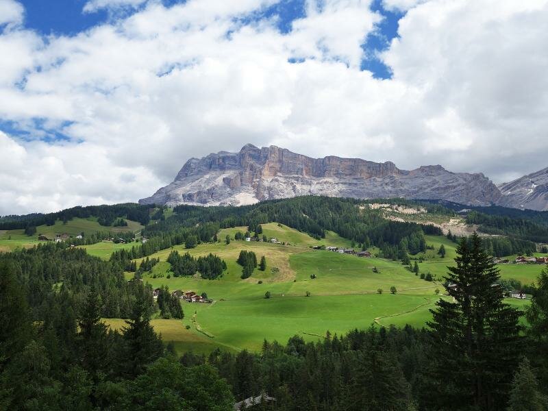
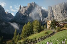
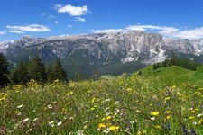
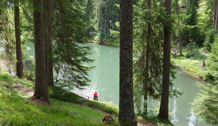
The 'Tru di lec', the Path of the Lakes, is an easy hiking path offering amazing views on the mighty Mt. Sasso di Santa Croce (2,907 m a.s.l.) and the 3,055 m high Mt. Piz Lavarela. It snakes its way beneath the rock faces of the Gardenaccia Highland through the beautiful natural landscape of Alta Badia.
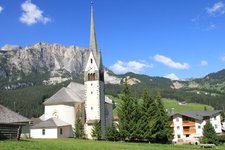
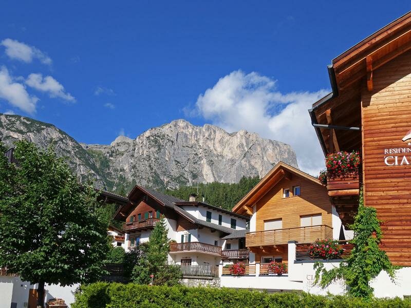
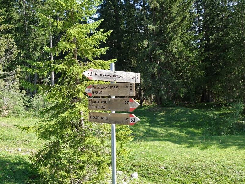
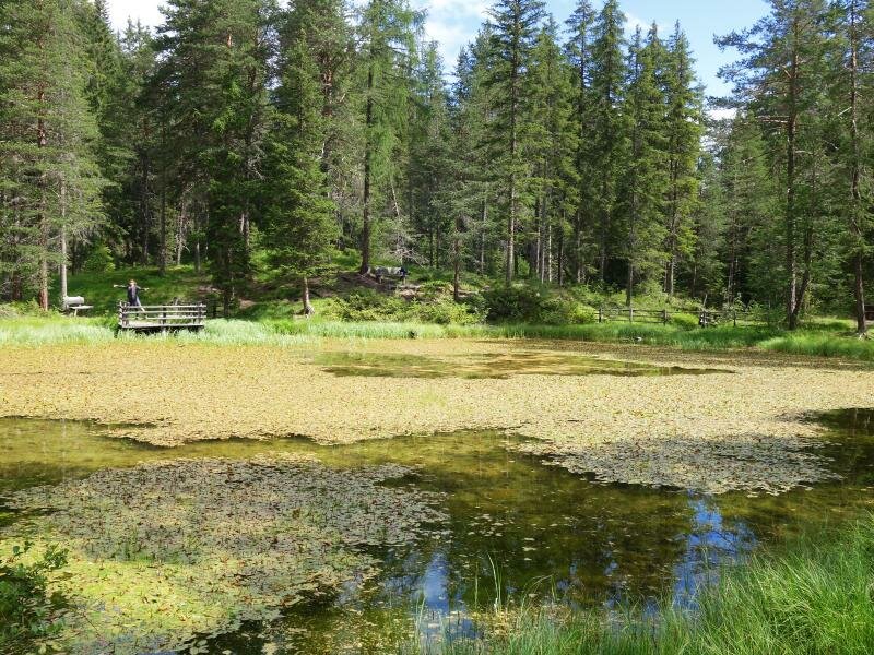
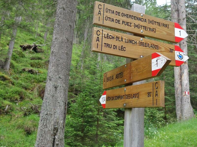
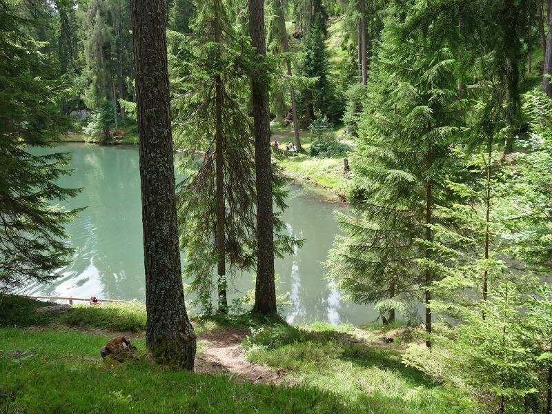
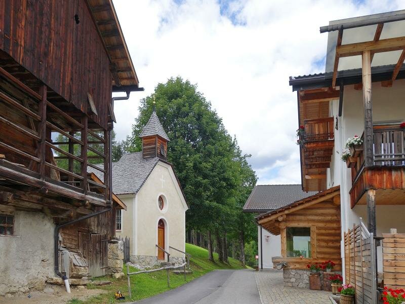
The theme path starts in Pedraces, a hamlet of Badia, and leads in a 3-hour walk first to Lake Lunch (Lech Dlá Lunch) and then - through a forest - to Lake Sompunt (Lech da Sompunt). The latter, a dark green lake at 1,460 m a.s.l. with a restaurant on its shore, is a well-known excursion destination in summer and winter alike.
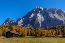
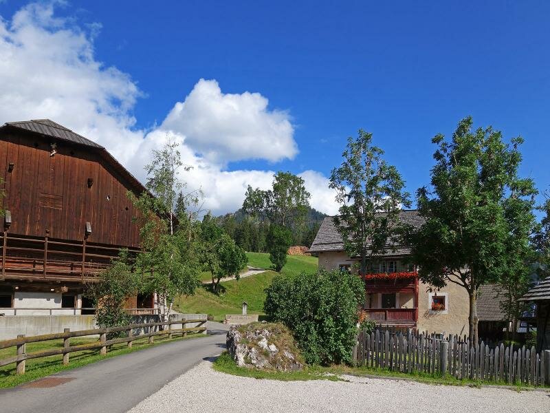
Finally the trail takes you back to Pedraces via the hamlets Paracia and Ciaminades - the highest point of the Path of the Lakes is located at 1,671 m a.s.l.
-
- Starting point:
- Badia, Pedraces village centre
-
- Overall time:
- 02:40 h
-
- Total route length:
- 7,4 km
-
- Altitude:
- from 1.325 m to 1.630 m
-
- Altitude difference (uphill | downhill):
- +355 m | -355 m
-
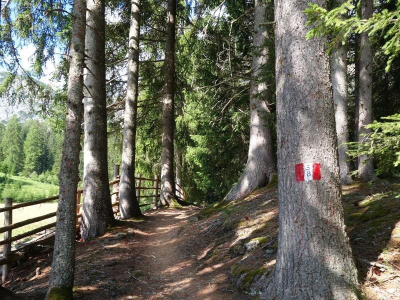
- Signposts:
- no. 1, 5B, 10A, 5
-
- Resting points:
- Ciasa Vedla
-
- Recommended time of year:
- Jan Feb Mar Apr May Jun Jul Aug Sep Oct Nov Dec
-
- Download GPX track:
- Path of the Lakes
If you want to undertake this hike, we recommend checking the weather and trail conditions in advance and on site before starting this hike!