Starting from the Col Pradat, the famous viewpoint beneath the mighty Sassongher, we climb up to the Gardenaccia Highland to reach the famous Rif. Puez mountain hut and further to the eastern tip of the Puez
Image gallery: Hike from the Col Pradat to the eastern tip of the Puez
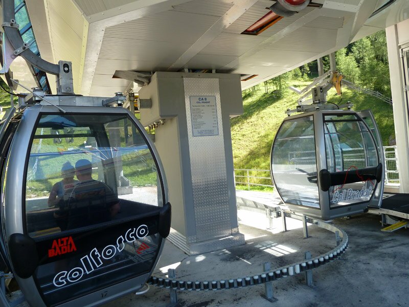
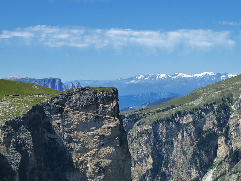
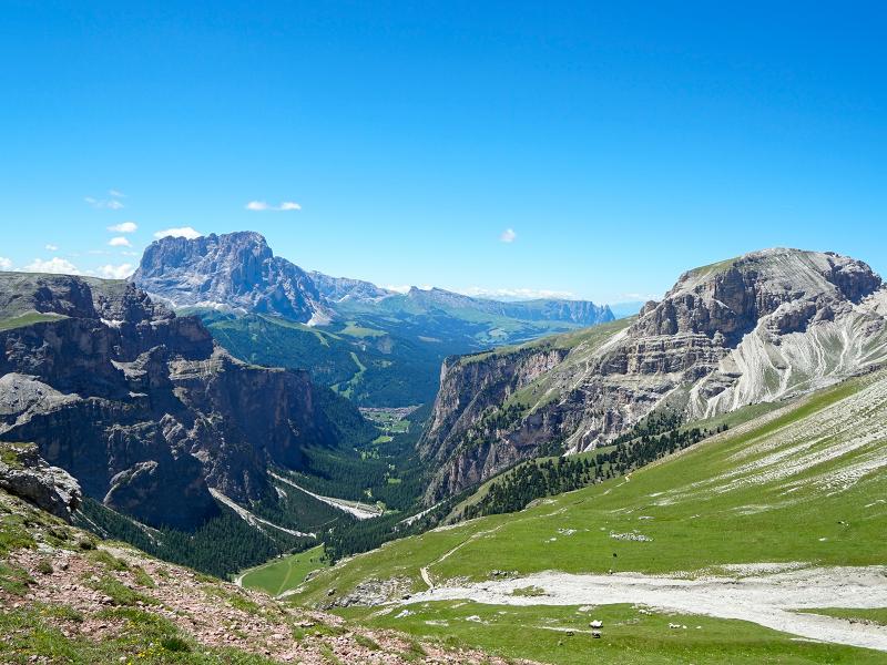
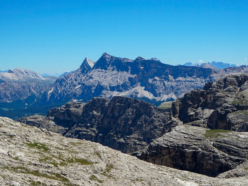
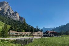
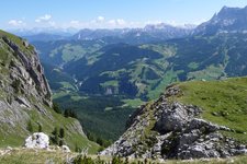
The Col Pradat gondola, which starts in Colfosco, takes us up to 2,030 m a.s.l. in a few minutes. Here a grandiose Dolomite landscape opens up - the view reaches from the Fanes group to the Marmolada, in front of us the mighty Sella massif and the green landscape between the Passo Gardena mountain pass and the village of Corvara.
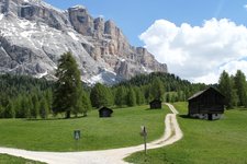
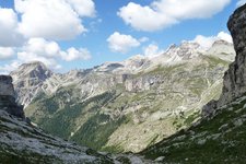
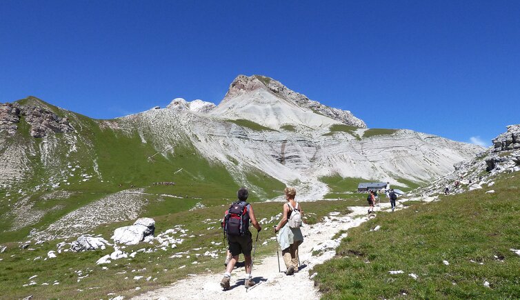
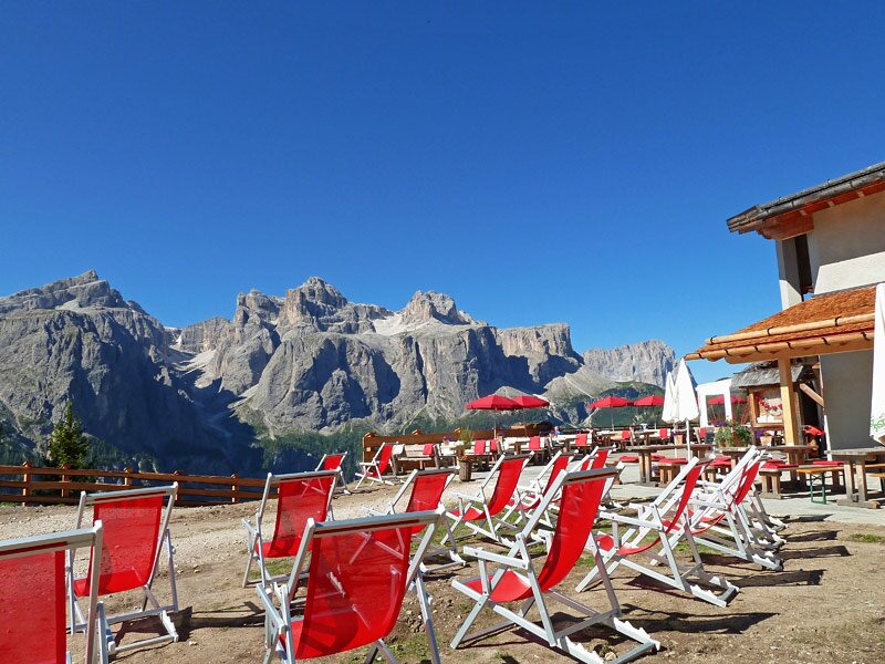
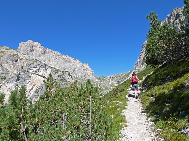
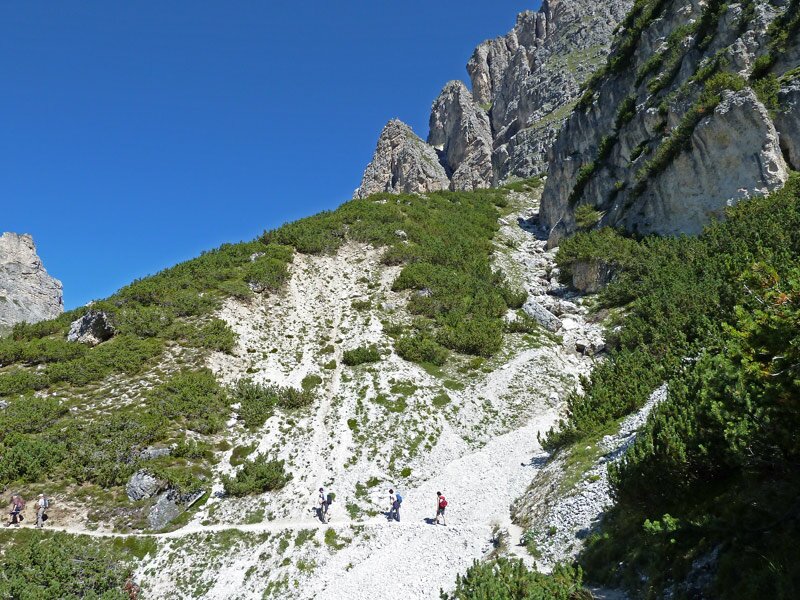
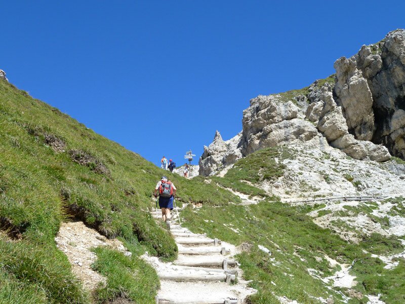
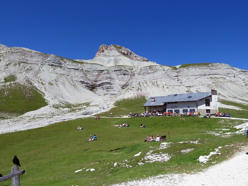
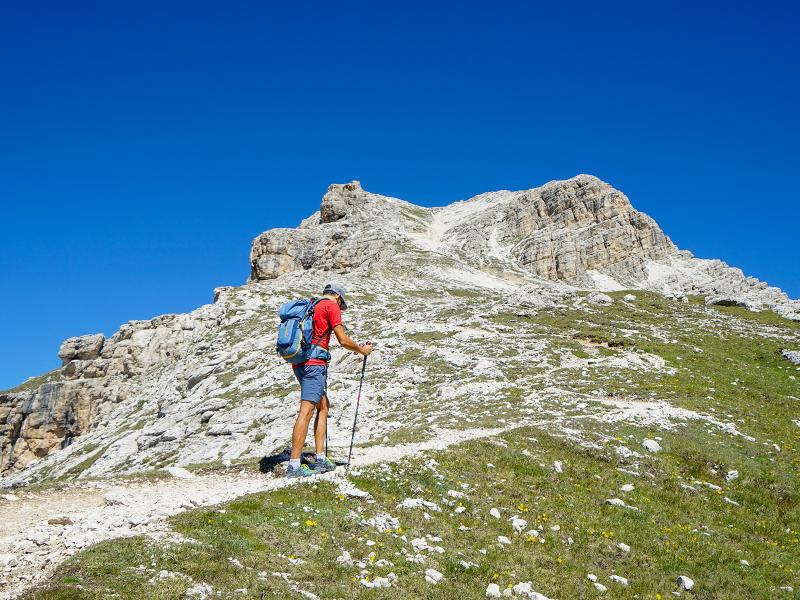
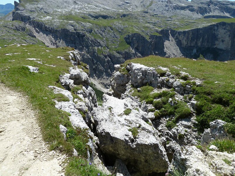
We start on path no. 4A - first 100 m downhill, then steadily uphill, the gradient gradually increases. Soon our path merges with path no. 4, which comes up from Colfosco through the Valle della Stella Alpina valley. The path becomes narrower and a bit rougher, on the left side the rock walls of the Ciampac rise, on the right the rugged rock face of Mt. Sassongher. We walk near the lake, which is shallow at the moment, and climb up to the Col Ciampëi to admire the Vallelunga valley. Now we continue on path no. 2 to the Rif. Puez mountain hut. We have walked for almost 2 hours, it is time for a refreshment, the Rif. Puez mountain hut is just right.
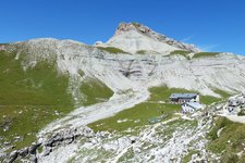
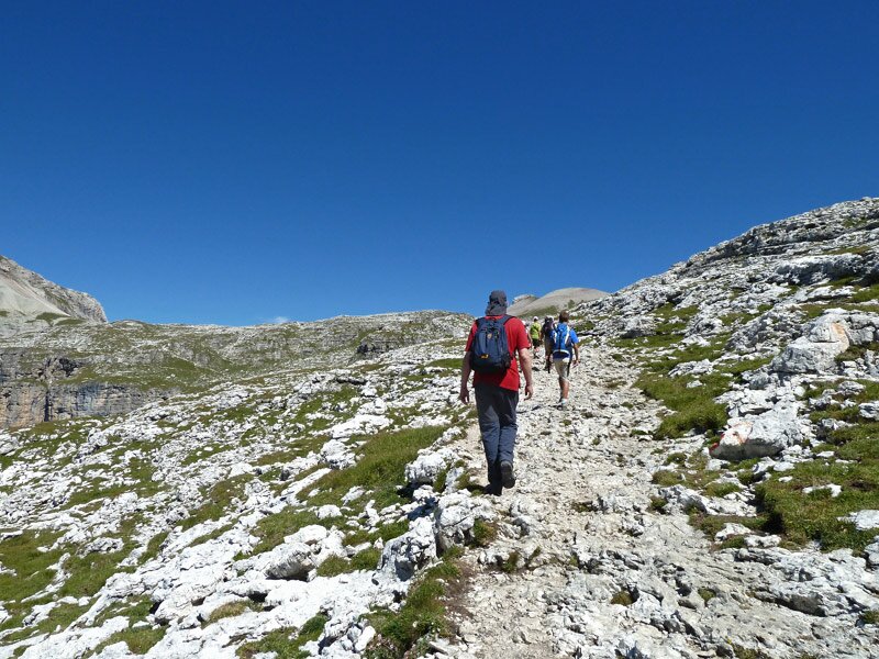
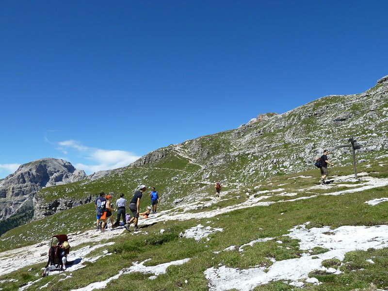
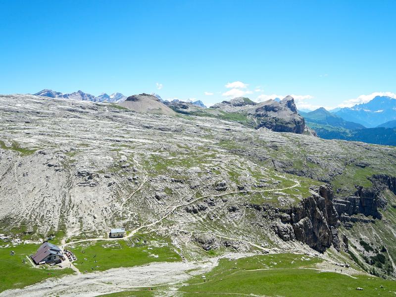
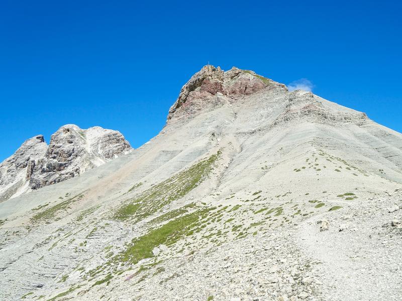
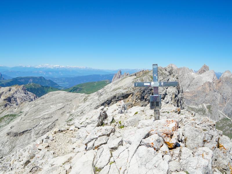
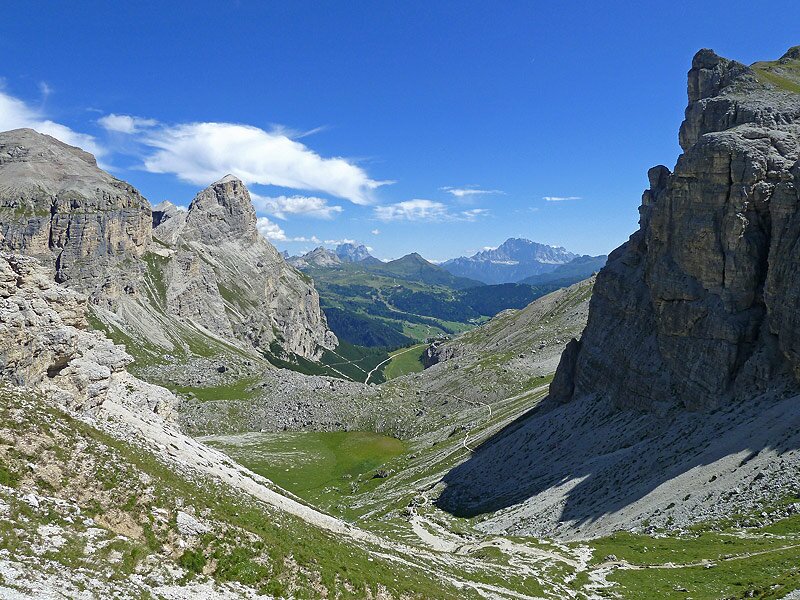
From the hut, trail no. 14 leads us past the Col de Puez, we hike on a steep serpentine path through scree terrain up to the eastern Puez peak at 2,913 m a.s.l. The summit cross is small, but you will be rewarded with a wonderful 360° panorama.
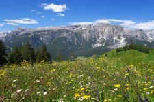
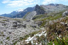
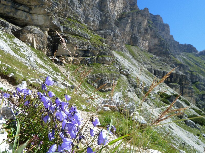
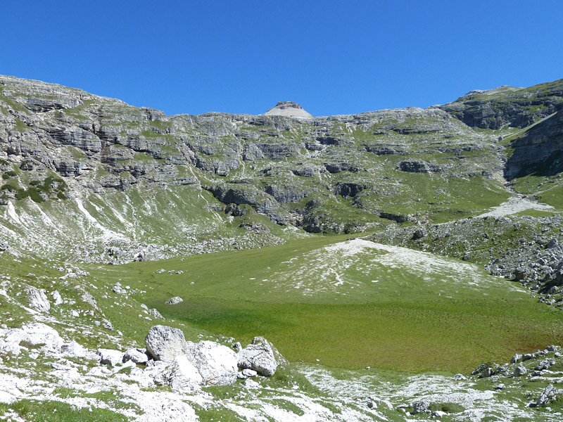
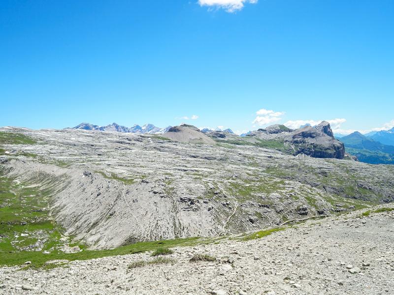
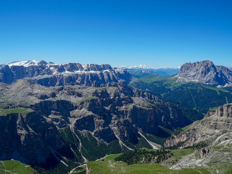
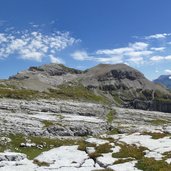
The impressions of the lunar landscape at 2.500 m a.s.l., the delicate alpine flowers and the magnificent panorama of the Dolomites make this hiking tour a great experience, especially when the weather is fine as today.
Authors: AT and PG
-
- Starting point:
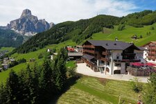
- Colfosco, Col Pradat (cable car mountain station)
-
- Overall time:
- 05:35 h
-
- Total route length:
- 14,9 km
-
- Altitude:
- from 1.943 m to 2.913 m
-
- Altitude difference:
- +1032 m | -1032 m
-
- Signposts:
- 4A, 4, 2, 14
-
- Destination:
- eastern tip of the mount Puez
-
- Resting points:
- Rifugio Puez mountain hut
-
- Recommended time of year:
- Jan Feb Mar Apr May Jun Jul Aug Sep Oct Nov Dec
-
- Download GPX track:
- Hike from the Col Pradat to the eastern tip of the Puez
If you want to do this tour, we suggest you to check the weather and trail conditions in advance and on site before setting out.